File:Dupont blizzard.JPG

Size of this preview: 800 × 542 pixels. Other resolutions: 320 × 217 pixels | 640 × 434 pixels | 1,024 × 694 pixels | 1,280 × 867 pixels | 2,936 × 1,989 pixels.
Original file (2,936 × 1,989 pixels, file size: 3.96 MB, MIME type: image/jpeg)
Captions
Captions
Add a one-line explanation of what this file represents
| Description |
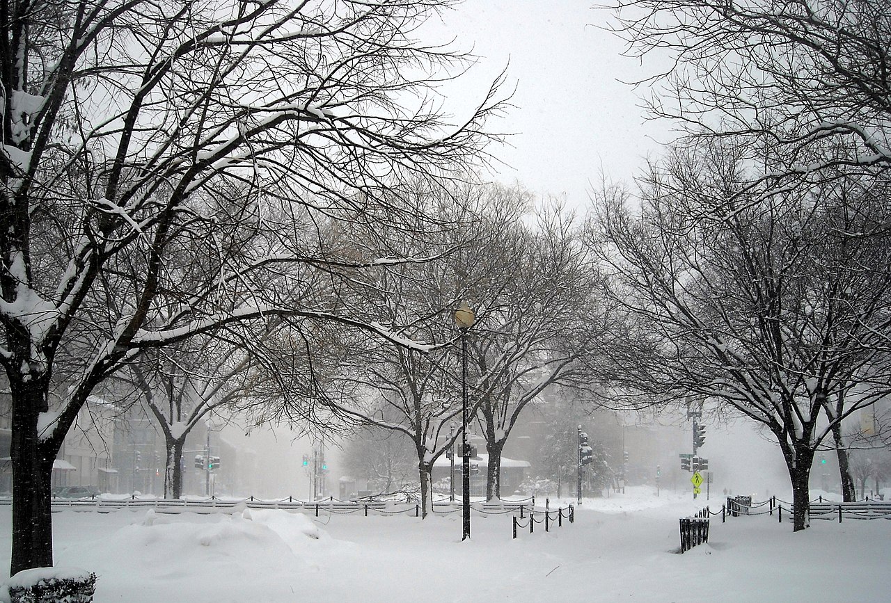
English: Dupont Circle in Washington, D.C., during the Second North American blizzard of 2010. High winds and blowing snow resulted in extremely low visibility. Massachusetts Avenue, N.W., is on the right-hand side; P Street, N.W., is on the left. |
| Date | |
| Source | Own work |
| Author | AgnosticPreachersKid |
| Permission (Reusing this file) |
I, the copyright holder of this work, hereby publish it under the following license: This file is licensed under the Creative Commons Attribution-Share Alike 3.0 Unported license.
|
| Camera location | | View this and other nearby images on: OpenStreetMap |
|---|
File history
Click on a date/time to view the file as it appeared at that time.
| Date/Time | Thumbnail | Dimensions | User | Comment | |
|---|---|---|---|---|---|
| current | 17:57, 10 February 2010 | | 2,936 × 1,989 (3.96 MB) | APK (talk | contribs) | {{Information |Description={{en|Dupont Circle in Washington, D.C., during the Second North American blizzard of 2010. High winds and blowing sn |
You cannot overwrite this file.
File usage on Commons
There are no pages that use this file.
File usage on other wikis
The following other wikis use this file:
- Usage on en.wikipedia.org