File:ESA vallée du Sourou, Mali.png
Size of this preview: 800 × 500 pixels. Other resolutions: 320 × 200 pixels | 640 × 400 pixels | 1,024 × 640 pixels | 1,440 × 900 pixels.
Original file (1,440 × 900 pixels, file size: 2.68 MB, MIME type: image/png)
Captions
Captions
Add a one-line explanation of what this file represents
Summary edit
| Description |
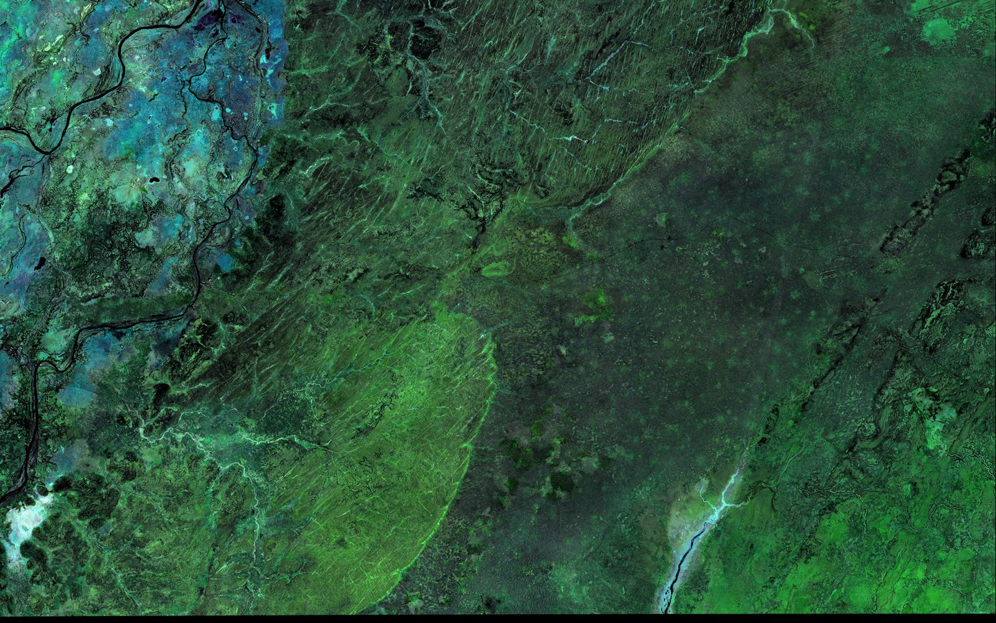
Français : Image Copernicus-Sentinelle de la vallée du Niger (à gauche) et de la vallée du Sourou (en bas à droite de l'image, en bleu) 2016. Mali. |
| Date | |
| Source | https://www.esa.int/ESA_Multimedia/Images/2019/03/Swamps_and_lakes_in_West_Africa |
| Author | contien des données Copernicus Sentinel (2016–18), modifiées par GeoVille. Agence Spatiale Européenne. |
Licensing edit
This file is licensed under the Creative Commons Attribution-Share Alike 4.0 International license.
- You are free:
- to share – to copy, distribute and transmit the work
- to remix – to adapt the work
- Under the following conditions:
- attribution – You must give appropriate credit, provide a link to the license, and indicate if changes were made. You may do so in any reasonable manner, but not in any way that suggests the licensor endorses you or your use.
- share alike – If you remix, transform, or build upon the material, you must distribute your contributions under the same or compatible license as the original.
File history
Click on a date/time to view the file as it appeared at that time.
| Date/Time | Thumbnail | Dimensions | User | Comment | |
|---|---|---|---|---|---|
| current | 14:26, 25 August 2021 | | 1,440 × 900 (2.68 MB) | Wisi eu (talk | contribs) | Uploaded a work by contien des données Copernicus Sentinel (2016–18), modifiées par GeoVille. Agence Spatiale Européenne. from https://www.esa.int/ESA_Multimedia/Images/2019/03/Swamps_and_lakes_in_West_Africa with UploadWizard |
You cannot overwrite this file.
File usage on Commons
There are no pages that use this file.
File usage on other wikis
The following other wikis use this file:
- Usage on fr.wikipedia.org
- Usage on nl.wikipedia.org