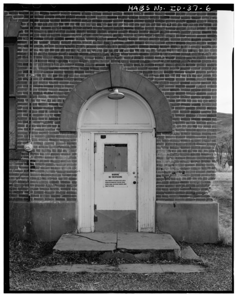
File:EXTERIOR, DOOR DETAIL, NORTH ELEVATION (Hans Muessig and Robert Ryan, Photographers, April 1979) - Montour School, East side of South Broadway Street, Montour, Gem County, ID HABS ID,23-MONT,7-6.tif
Size of this JPG preview of this TIF file: 479 × 600 pixels. Other resolutions: 192 × 240 pixels | 383 × 480 pixels | 613 × 768 pixels | 818 × 1,024 pixels | 1,635 × 2,048 pixels | 3,993 × 5,000 pixels.
Original file (3,993 × 5,000 pixels, file size: 19.04 MB, MIME type: image/tiff)
Captions
Captions
Add a one-line explanation of what this file represents
Summary edit
| EXTERIOR, DOOR DETAIL, NORTH ELEVATION (Hans Muessig and Robert Ryan, Photographers, April 1979) - Montour School, East side of South Broadway Street, Montour, Gem County, ID | ||||
|---|---|---|---|---|
| Title |
EXTERIOR, DOOR DETAIL, NORTH ELEVATION (Hans Muessig and Robert Ryan, Photographers, April 1979) - Montour School, East side of South Broadway Street, Montour, Gem County, ID |
|||
| Depicted place | Idaho; Gem County; Montour | |||
| Date | Documentation compiled after 1933 | |||
| Dimensions | 4 x 5 in. | |||
| Current location |
Library of Congress Prints and Photographs Division Washington, D.C. 20540 USA http://hdl.loc.gov/loc.pnp/pp.print |
|||
| Accession number |
HABS ID,23-MONT,7-6 |
|||
| Credit line |
|
|||
| Notes |
|
|||
| Source | https://www.loc.gov/pictures/item/id0045.photos.059332p | |||
| Permission (Reusing this file) |
|
|||

| Object location | | View this and other nearby images on: OpenStreetMap |
|---|
File history
Click on a date/time to view the file as it appeared at that time.
| Date/Time | Thumbnail | Dimensions | User | Comment | |
|---|---|---|---|---|---|
| current | 20:18, 14 July 2014 |  | 3,993 × 5,000 (19.04 MB) | Fæ (talk | contribs) | GWToolset: Creating mediafile for Fæ. HABS 11 July 2014 (1001:1200) |
You cannot overwrite this file.
File usage on Commons
The following page uses this file: