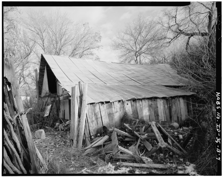
File:EXTERIOR, NORTH AND WEST ELEVATIONS, LOOKING SOUTHEAST (Robert Ryan, Photographer, April 1979) - Mitchell, Marsh and Ireton Ranch, Cellar, Montour, Gem County, ID HABS ID,23-MONT.V,2B-4.tif
Size of this JPG preview of this TIF file: 755 × 600 pixels. Other resolutions: 302 × 240 pixels | 604 × 480 pixels | 967 × 768 pixels | 1,280 × 1,017 pixels | 2,560 × 2,034 pixels | 5,000 × 3,972 pixels.
Original file (5,000 × 3,972 pixels, file size: 18.94 MB, MIME type: image/tiff)
Captions
Captions
Add a one-line explanation of what this file represents
Summary edit
| EXTERIOR, NORTH AND WEST ELEVATIONS, LOOKING SOUTHEAST (Robert Ryan, Photographer, April 1979) - Mitchell, Marsh and Ireton Ranch, Cellar, Montour, Gem County, ID | ||||
|---|---|---|---|---|
| Title |
EXTERIOR, NORTH AND WEST ELEVATIONS, LOOKING SOUTHEAST (Robert Ryan, Photographer, April 1979) - Mitchell, Marsh and Ireton Ranch, Cellar, Montour, Gem County, ID |
|||
| Depicted place | Idaho; Gem County; Montour | |||
| Date | Documentation compiled after 1933 | |||
| Dimensions | 4 x 5 in. | |||
| Current location |
Library of Congress Prints and Photographs Division Washington, D.C. 20540 USA http://hdl.loc.gov/loc.pnp/pp.print |
|||
| Accession number |
HABS ID,23-MONT.V,2B-4 |
|||
| Credit line |
|
|||
| Notes |
|
|||
| Source | https://www.loc.gov/pictures/item/id0042.photos.059381p | |||
| Permission (Reusing this file) |
|
|||

| Object location | | View this and other nearby images on: OpenStreetMap |
|---|
File history
Click on a date/time to view the file as it appeared at that time.
| Date/Time | Thumbnail | Dimensions | User | Comment | |
|---|---|---|---|---|---|
| current | 19:48, 14 July 2014 |  | 5,000 × 3,972 (18.94 MB) | Fæ (talk | contribs) | GWToolset: Creating mediafile for Fæ. HABS 11 July 2014 (1001:1200) |
You cannot overwrite this file.
File usage on Commons
The following page uses this file: