File:Eaker AFB - 25 Mar 2001.jpg
Size of this preview: 514 × 600 pixels. Other resolutions: 206 × 240 pixels | 411 × 480 pixels | 658 × 768 pixels | 1,200 × 1,400 pixels.
Original file (1,200 × 1,400 pixels, file size: 341 KB, MIME type: image/jpeg)
Captions
Captions
Add a one-line explanation of what this file represents
Summary edit
| Description |
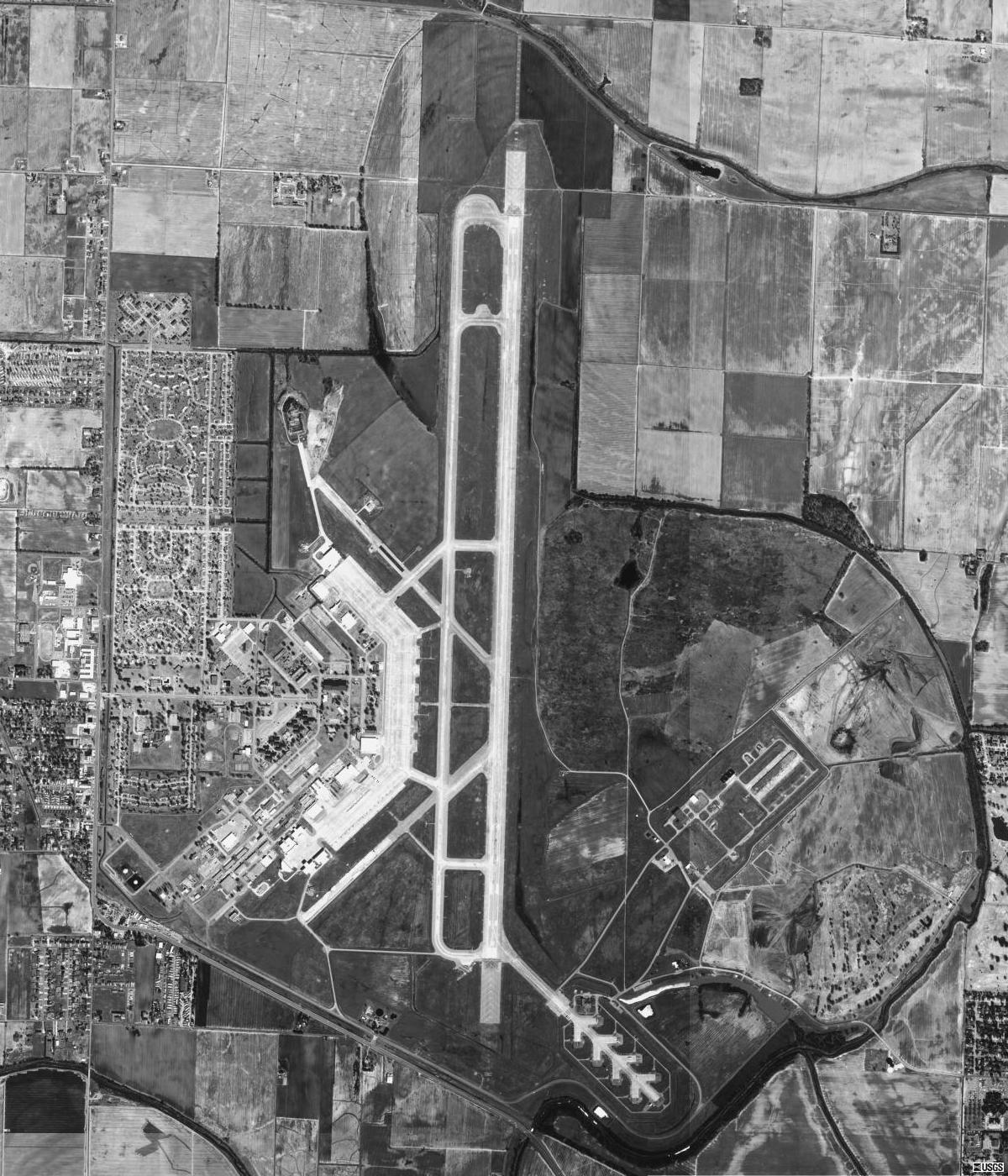
English: Aerial image of Eaker Air Force Base in Blytheville, Arkansas, United States. |
| Date | |
| Source | USGS digital orthophoto via MSR Maps (formerly TerraServer-USA) |
| Author | United States Geological Survey (USGS) |
| Permission (Reusing this file) |
Public domain |
| Object location | | View this and other nearby images on: OpenStreetMap |
|---|
Licensing edit
This image is in the public domain in the United States because it only contains materials that originally came from the United States Geological Survey, an agency of the United States Department of the Interior. For more information, see the official USGS copyright policy.
|
File history
Click on a date/time to view the file as it appeared at that time.
| Date/Time | Thumbnail | Dimensions | User | Comment | |
|---|---|---|---|---|---|
| current | 21:39, 16 May 2010 | | 1,200 × 1,400 (341 KB) | Zyxw (talk | contribs) | higher resolution version |
| 19:41, 26 March 2008 |  | 608 × 682 (127 KB) | Bwmoll3 (talk | contribs) | {{Information |Description=Eaker AFB, Arkansas |Source=USGS http://terraserver-usa.com/map.aspx?t=1&s=13&lon=-89.943889&lat=35.964444&w=800&h=800&opt=0&f=&fs=8&fc=ffffff99&lp=---+None+--- |Date= 25 Mar 2001 |Author=USGS |Permission=USGOV-PD |other_version |
You cannot overwrite this file.
File usage on Commons
There are no pages that use this file.
File usage on other wikis
The following other wikis use this file:
- Usage on es.wikipedia.org
- Usage on fa.wikipedia.org
- Usage on ja.wikipedia.org
- Usage on tg.wikipedia.org