File:Elisabeth Islands and Martas Vineyard.png
Size of this preview: 800 × 570 pixels. Other resolutions: 320 × 228 pixels | 640 × 456 pixels | 1,022 × 728 pixels.
Original file (1,022 × 728 pixels, file size: 850 KB, MIME type: image/png)
Captions
Captions
Add a one-line explanation of what this file represents
| Description |
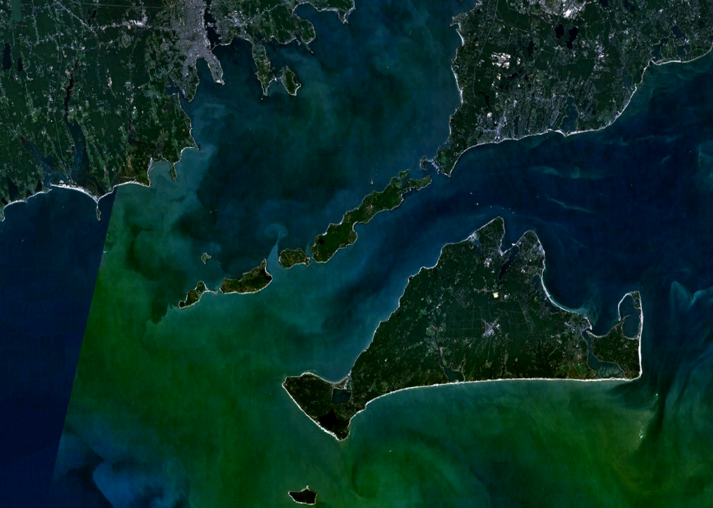
English: Elizabeth Islands and Martha's Vineyard |
| Date | |
| Source | NASA World Wind |
| Author | NASA |
| This image is in the public domain because it is a screenshot from NASA’s globe software World Wind using a public domain layer, such as Blue Marble, MODIS, Landsat, SRTM, USGS or GLOBE.
|
 |
File history
Click on a date/time to view the file as it appeared at that time.
| Date/Time | Thumbnail | Dimensions | User | Comment | |
|---|---|---|---|---|---|
| current | 23:16, 12 September 2008 | | 1,022 × 728 (850 KB) | Pauk (talk | contribs) | {{Information |Description=Elisabeth Islands and Martas Vineyard |Source=NASA World Wind |Date=2008 |Author=NASA |Permission=1022*728*24b |other_versions= }} {{PD-NASA}} Category:Martha's Vineyard <!--{{ImageUpload|basic}}--> |
You cannot overwrite this file.
File usage on Commons
The following page uses this file:
File usage on other wikis
The following other wikis use this file:
- Usage on en.wikipedia.org
- Usage on es.wikipedia.org
- Usage on gl.wikipedia.org
- Usage on hu.wikipedia.org
- Usage on ja.wikipedia.org
- Usage on ru.wikipedia.org
- Usage on sv.wikipedia.org
- Usage on ta.wikipedia.org
- Usage on www.wikidata.org