File:Essonne department location map.svg

Size of this PNG preview of this SVG file: 578 × 600 pixels. Other resolutions: 231 × 240 pixels | 463 × 480 pixels | 740 × 768 pixels | 987 × 1,024 pixels | 1,974 × 2,048 pixels | 982 × 1,019 pixels.
Original file (SVG file, nominally 982 × 1,019 pixels, file size: 125 KB)
Captions
Captions
Add a one-line explanation of what this file represents
Summary edit
| Camera location | | View this and other nearby images on: OpenStreetMap |
|---|
| Description |
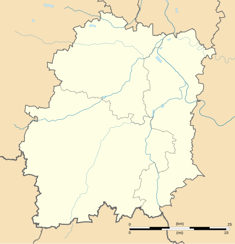
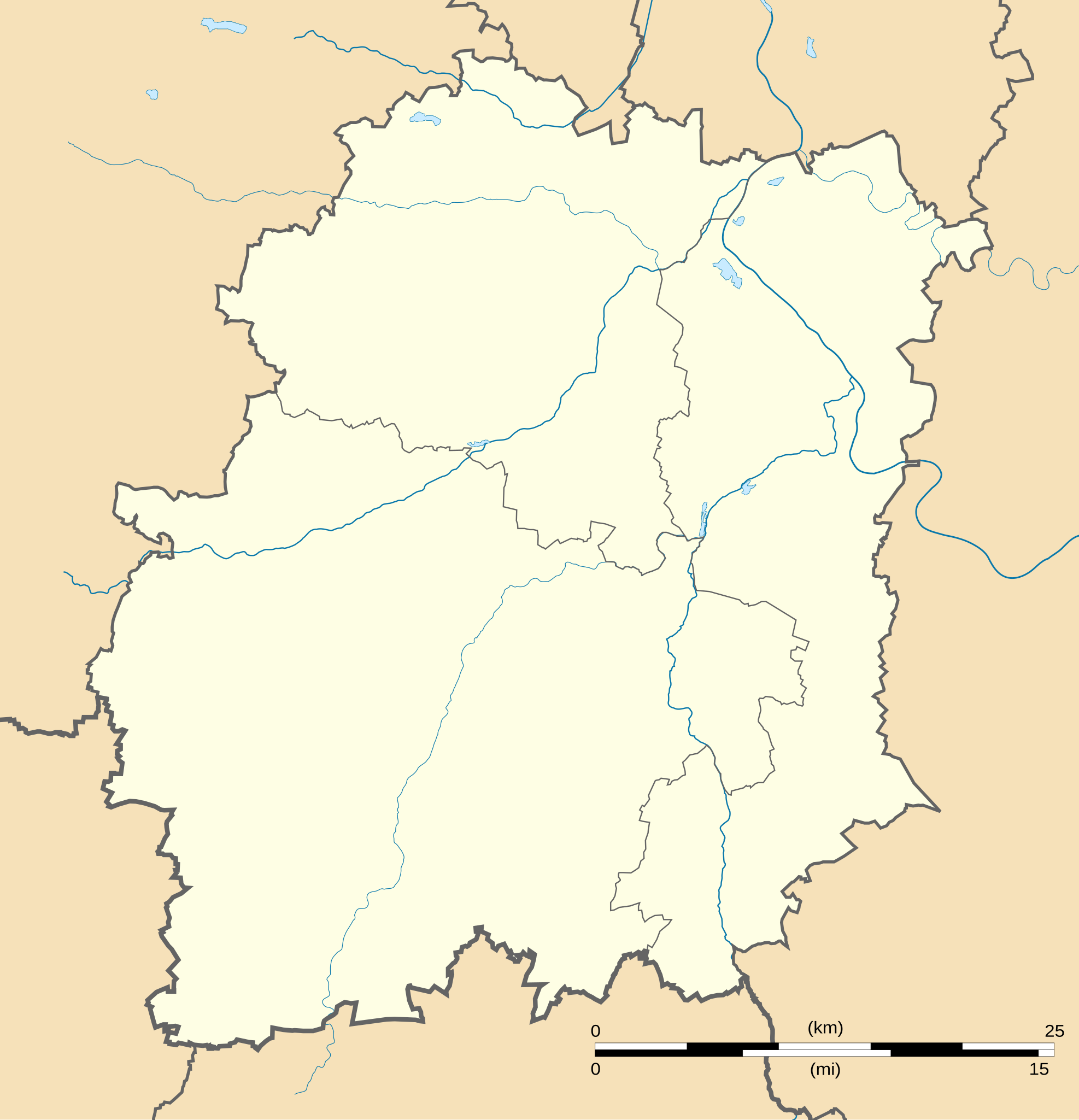
English: Blank administrative map of the department of Essonne, France, for geo-location purpose, with distinct boundaries for regions, departments and arrondissements.
Français : Carte administrative vierge du département de l'Essonne, France, destinée à la géolocalisation, avec limite distincte des régions, départements et arrondissements. Equirectangular projection, WGS84 datum
Geographic limits of the map:
|
||
| Date | |||
| Source |
Own work
|
||
| Author | Eric Gaba (Sting - fr:Sting) | ||
| Permission (Reusing this file) |
|
||
| Other versions |
Derivative works of this file: Essonne Communes frontières.png
|

Licensing edit
I, the copyright holder of this work, hereby publish it under the following licenses:
This file is licensed under the Creative Commons Attribution-Share Alike 3.0 Unported license.
- You are free:
- to share – to copy, distribute and transmit the work
- to remix – to adapt the work
- Under the following conditions:
- attribution – You must give appropriate credit, provide a link to the license, and indicate if changes were made. You may do so in any reasonable manner, but not in any way that suggests the licensor endorses you or your use.
- share alike – If you remix, transform, or build upon the material, you must distribute your contributions under the same or compatible license as the original.

|
Permission is granted to copy, distribute and/or modify this document under the terms of the GNU Free Documentation License, Version 1.2 or any later version published by the Free Software Foundation; with no Invariant Sections, no Front-Cover Texts, and no Back-Cover Texts. A copy of the license is included in the section entitled GNU Free Documentation License. |
You may select the license of your choice.
File history
Click on a date/time to view the file as it appeared at that time.
| Date/Time | Thumbnail | Dimensions | User | Comment | |
|---|---|---|---|---|---|
| current | 17:54, 3 September 2008 | | 982 × 1,019 (125 KB) | Bourrichon (talk | contribs) | Reverted to version as of 20:11, 13 August 2008 Révocation des pastilles qui empêchent une pleine utilisation de la carte |
| 22:35, 2 September 2008 |  | 982 × 1,019 (126 KB) | Bourrichon (talk | contribs) | Déplacement des pastilles ajoutées pour qu'elles n'apparaissent pas en double (Préfectures : Évry, Palaiseau, Étampes) | |
| 22:32, 2 September 2008 |  | 982 × 1,019 (126 KB) | Bourrichon (talk | contribs) | ||
| 22:08, 2 September 2008 |  | 982 × 1,019 (126 KB) | Bourrichon (talk | contribs) | ||
| 20:11, 13 August 2008 |  | 982 × 1,019 (125 KB) | Sting (talk | contribs) | + Yvette river | |
| 15:13, 13 August 2008 |  | 982 × 1,019 (120 KB) | Sting (talk | contribs) | == Summary == {{Location|48|31|30|N|02|15|00|E|scale:1000000}} <br/> {{Information |Description={{en|Blank administrative map of the department of Essonne, France, for geo-location purpose, with distinct boundaries for regions, departments |
You cannot overwrite this file.
File usage on Commons
The following 7 pages use this file:
File usage on other wikis
The following other wikis use this file:
- Usage on als.wikipedia.org
- Usage on de.wikipedia.org
- Usage on dsb.wikipedia.org
- Usage on eo.wikipedia.org
- Évry (Essonne)
- Ŝablono:Situo sur mapo
- Ŝablono:Situo sur mapo/dokumentado
- Grigny (Essonne)
- Ŝablono:Situo sur mapo/testoj
- Palaiseau
- Ŝablono:Situo sur mapo Francio Essonne
- Ŝablono:Situo sur mapo/multoble
- Ŝablono:Situo sur mapo/multoble/dokumentado
- Courcouronnes
- Chamarande
- Crosne (Essonne)
- Ballancourt-sur-Essonne
- Montlhéry
- Évry-Courcouronnes
- Ballainvilliers
- Morangis (Essonne)
- Saulx-les-Chartreux
- Cerny
- Fleury-Mérogis
- Usage on eu.wikipedia.org
- Usage on fr.wikipedia.org
- Essonne (département)
- Chapelle Saint-Blaise-des-Simples de Milly-la-Forêt
- École polytechnique universitaire de l'université Paris-Saclay
- Centre national du rugby
- La Ville-du-Bois
- Château du Saussay
- Institut d'optique Graduate School
- Château du Marais
- Courcouronnes
- Arboretum municipal de Verrières-le-Buisson
- Château des Roches (Bièvres)
- Musée français de la photographie
- Château de Courances
- Estouches
- Wissous
- Abbaye Notre-Dame d'Yerres
View more global usage of this file.