File:European Union 15 Poland Locator.svg

Size of this PNG preview of this SVG file: 680 × 520 pixels. Other resolutions: 314 × 240 pixels | 628 × 480 pixels | 1,004 × 768 pixels | 1,280 × 979 pixels | 2,560 × 1,958 pixels.
Original file (SVG file, nominally 680 × 520 pixels, file size: 451 KB)
Captions
Captions
Add a one-line explanation of what this file represents
Summary edit
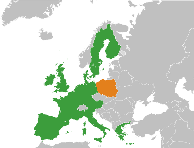
| Description |
Français : Carte de l'UE à 15 et de la Pologne.
Pologne
UE à 15 |
| Source | Own work |
| Author | Treehill |
| Other versions |
|
.svg)
Licensing edit
| I, the copyright holder of this work, release this work into the public domain. This applies worldwide. In some countries this may not be legally possible; if so: I grant anyone the right to use this work for any purpose, without any conditions, unless such conditions are required by law. |
File history
Click on a date/time to view the file as it appeared at that time.
| Date/Time | Thumbnail | Dimensions | User | Comment | |
|---|---|---|---|---|---|
| current | 10:17, 7 July 2013 | | 680 × 520 (451 KB) | Augusta 89 (talk | contribs) | Carte avec les frontières européennes de 2004. Localisation des micro-États. |
| 23:04, 4 October 2010 |  | 680 × 520 (495 KB) | Treehill (talk | contribs) | {{Information |Description={{fr|1=Carte de l'UE à 15 et de la Pologne.}} |Source={{own}} |Author=Treehill |Date= |Permission= |other_versions= }} Category:Bilateral maps of the European Union Category:SVG maps of Europe |
You cannot overwrite this file.
File usage on Commons
The following 2 pages use this file:
File usage on other wikis
The following other wikis use this file:
- Usage on fr.wikipedia.org
- Usage on uk.wikipedia.org