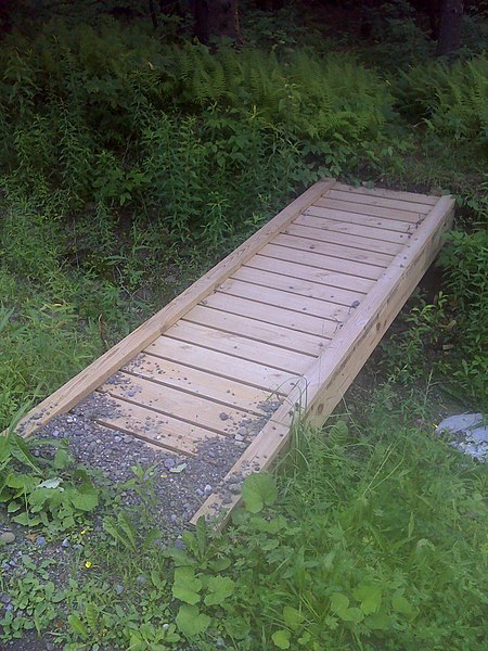
File:FLT M22 14.92 mi - Puncheon over ditch, 10' long, 2x6x36 deck, two 2x8 stringers, rock sills - panoramio.jpg

Size of this preview: 450 × 600 pixels. Other resolutions: 180 × 240 pixels | 360 × 480 pixels | 576 × 768 pixels | 768 × 1,024 pixels | 1,536 × 2,048 pixels.
Original file (1,536 × 2,048 pixels, file size: 631 KB, MIME type: image/jpeg)
Captions
Captions
Add a one-line explanation of what this file represents
Summary edit
| Description | FLT M22 14.92 mi - Puncheon over ditch, 10' long, 2x6x36 deck, two 2x8 stringers, rock sills | ||
| Date | Taken on 19 July 2011 | ||
| Source | https://web.archive.org/web/20161023021611/http://www.panoramio.com/photo/56140371 | ||
| Author | javajoe6 | ||
| Permission (Reusing this file) |
This file is licensed under the Creative Commons Attribution-Share Alike 3.0 Unported license. Attribution: javajoe6
|
||
| Tags (from Panoramio photo page) | Otselic, Finger Lakes Trail Map M22 |
| Camera location | | View this and other nearby images on: OpenStreetMap |
|---|
File history
Click on a date/time to view the file as it appeared at that time.
| Date/Time | Thumbnail | Dimensions | User | Comment | |
|---|---|---|---|---|---|
| current | 15:10, 3 December 2016 | | 1,536 × 2,048 (631 KB) | Panoramio upload bot (talk | contribs) | == {{int:filedesc}} == {{Information |description=FLT M22 14.92 mi - Puncheon over ditch, 10' long, 2x6x36 deck, two 2x8 stringers, rock sills |date={{Taken on|2011-07-19}} |source=http://www.panoramio.com/photo/56140371 |author=[http://www.panoramio.c... |
You cannot overwrite this file.
File usage on Commons
There are no pages that use this file.