File:Face of Neptune, King's Reach marker.jpg
Size of this preview: 450 × 600 pixels. Other resolutions: 180 × 240 pixels | 360 × 480 pixels | 576 × 768 pixels | 768 × 1,024 pixels | 1,536 × 2,048 pixels.
Original file (1,536 × 2,048 pixels, file size: 812 KB, MIME type: image/jpeg)
Captions
Captions
Add a one-line explanation of what this file represents
Summary edit
| Description |
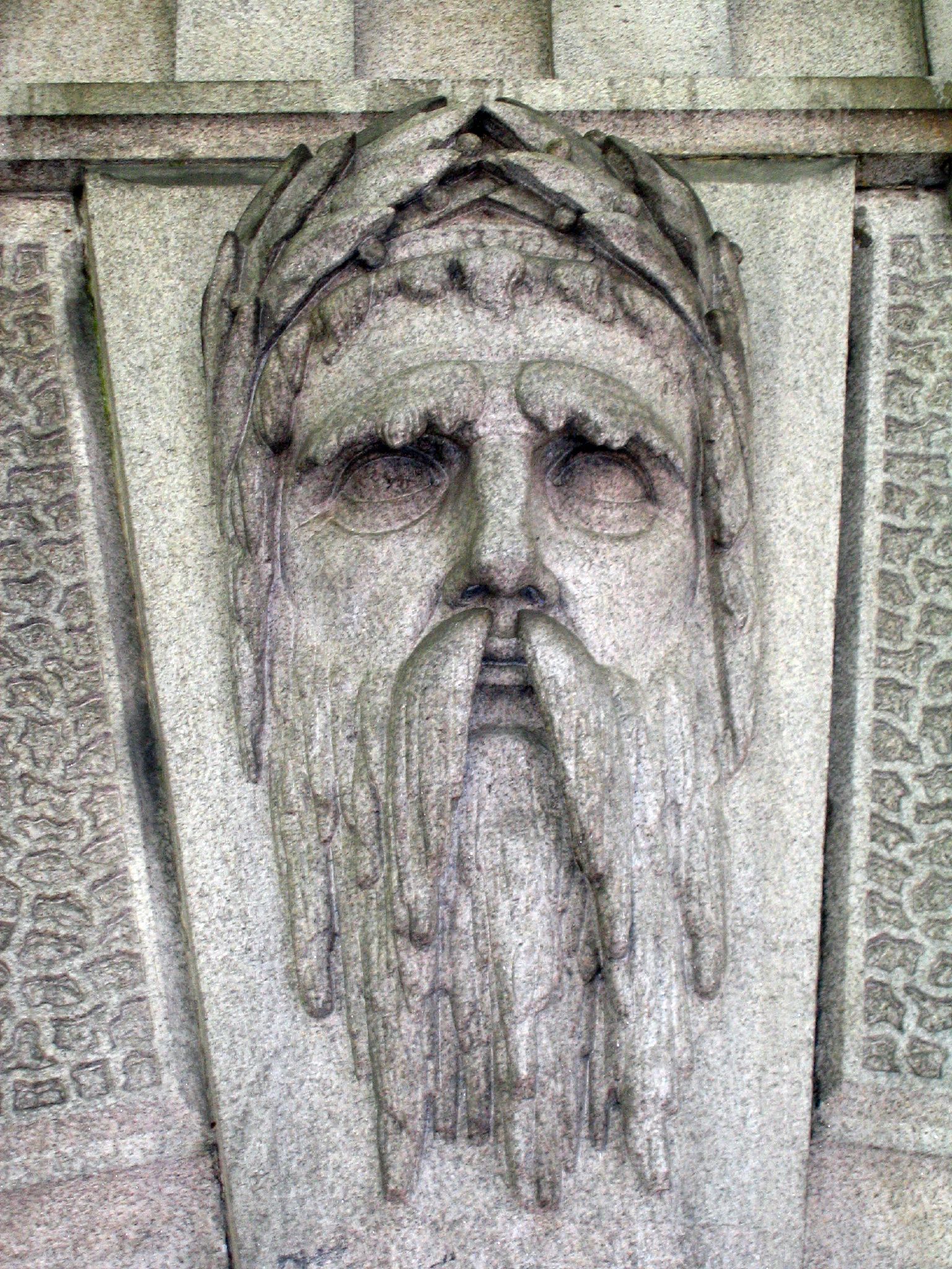
English: The arch that marks the start of the section of the Thames known as King's Reach.
MSH: "I used to rule the world Seas would rise when I gave the word" |
| Date | |
| Source | https://www.flickr.com/photos/ruthanddave/163736924/ |
| Author | Ruth Hartnup |
| Camera location | | View this and other nearby images on: OpenStreetMap |
|---|
Licensing edit
This file is licensed under the Creative Commons Attribution 2.0 Generic license.
- You are free:
- to share – to copy, distribute and transmit the work
- to remix – to adapt the work
- Under the following conditions:
- attribution – You must give appropriate credit, provide a link to the license, and indicate if changes were made. You may do so in any reasonable manner, but not in any way that suggests the licensor endorses you or your use.
| This image was originally posted to Flickr by Ruth and Dave at https://flickr.com/photos/95142644@N00/163736924. It was reviewed on 1 November 2021 by FlickreviewR 2 and was confirmed to be licensed under the terms of the cc-by-2.0. |
File history
Click on a date/time to view the file as it appeared at that time.
| Date/Time | Thumbnail | Dimensions | User | Comment | |
|---|---|---|---|---|---|
| current | 19:56, 1 November 2021 | | 1,536 × 2,048 (812 KB) | Ham II (talk | contribs) | Uploaded a work by Ruth Hartnup from https://www.flickr.com/photos/ruthanddave/163736924/ with UploadWizard |
You cannot overwrite this file.
File usage on Commons
There are no pages that use this file.