File:Field by Wessex Ridgeway - geograph.org.uk - 295667.jpg
No higher resolution available.
Field_by_Wessex_Ridgeway_-_geograph.org.uk_-_295667.jpg (600 × 399 pixels, file size: 51 KB, MIME type: image/jpeg)
Captions
Captions
Add a one-line explanation of what this file represents
Summary edit
| Description |
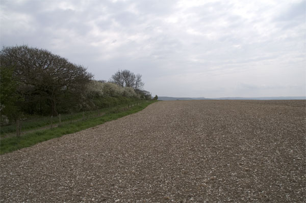
English: Field by Wessex Ridgeway The field has been newly seeded and we are crossing it here by tractor, hence the slight blur in the foreground. The path on the left is the Wessex Ridgeway, which runs for 219 km from Marlborough in Wiltshire to Lyme Regis. The WT mast just visible where the path disappears is on Bulbarrow Hill, about 3.5km away. http://www.ramblers.org.uk/INFO/paths/wessexridgeway.html |
| Date | |
| Source | From geograph.org.uk |
| Author | John Lamper |
| Attribution (required by the license) | John Lamper / Field by Wessex Ridgeway / |
| Object location | | View this and other nearby images on: OpenStreetMap |
|---|
_heading:225.00&language=en)
Licensing edit

|
This image was taken from the Geograph project collection. See this photograph's page on the Geograph website for the photographer's contact details. The copyright on this image is owned by John Lamper and is licensed for reuse under the Creative Commons Attribution-ShareAlike 2.0 license.
|
This file is licensed under the Creative Commons Attribution-Share Alike 2.0 Generic license.
Attribution: John Lamper
- You are free:
- to share – to copy, distribute and transmit the work
- to remix – to adapt the work
- Under the following conditions:
- attribution – You must give appropriate credit, provide a link to the license, and indicate if changes were made. You may do so in any reasonable manner, but not in any way that suggests the licensor endorses you or your use.
- share alike – If you remix, transform, or build upon the material, you must distribute your contributions under the same or compatible license as the original.
- Remove redundant categories and try to put this image in the most specific category/categories
- Remove this template
- The location categories are based on information from this geonames tool and this OpenStreetMap tool combined with a database. You can also have a look at this tool from mysociety.
- The topic category from Geograph was Fields (find similar images at Geograph)
File history
Click on a date/time to view the file as it appeared at that time.
| Date/Time | Thumbnail | Dimensions | User | Comment | |
|---|---|---|---|---|---|
| current | 21:11, 14 December 2010 | | 600 × 399 (51 KB) | GeographBot (talk | contribs) | == {{int:filedesc}} == {{Information |description={{en|1=Field by Wessex Ridgeway The field has been newly seeded and we are crossing it here by tractor, hence the slight blur in the foreground. The path on the left is the Wessex Ridgeway, which runs for |
You cannot overwrite this file.
File usage on Commons
There are no pages that use this file.