File:Finderup Øvelsesplads OSM.png
Size of this preview: 650 × 599 pixels. Other resolutions: 260 × 240 pixels | 520 × 480 pixels | 888 × 819 pixels.
Original file (888 × 819 pixels, file size: 566 KB, MIME type: image/png)
Captions
Captions
Add a one-line explanation of what this file represents
Summary edit
| Description |
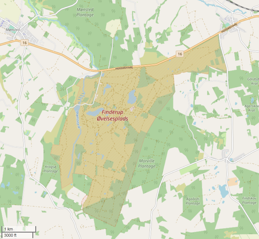
Dansk: Militært øvelsesterræn mellem Holstebro og Viborg
English: Danish military exercise area between Holstebro and Viborg |
| Date | |
| Source | OpenStreetMap.org |
| Author | OpenStreetMap og bidragydere |
| Camera location | | View this and other nearby images on: OpenStreetMap |
|---|
Licensing edit
This file is licensed under the Creative Commons Attribution-Share Alike 2.5 Generic license.
- You are free:
- to share – to copy, distribute and transmit the work
- to remix – to adapt the work
- Under the following conditions:
- attribution – You must give appropriate credit, provide a link to the license, and indicate if changes were made. You may do so in any reasonable manner, but not in any way that suggests the licensor endorses you or your use.
- share alike – If you remix, transform, or build upon the material, you must distribute your contributions under the same or compatible license as the original.
File history
Click on a date/time to view the file as it appeared at that time.
| Date/Time | Thumbnail | Dimensions | User | Comment | |
|---|---|---|---|---|---|
| current | 09:53, 28 December 2018 | | 888 × 819 (566 KB) | Poul G (talk | contribs) | User created page with UploadWizard |
You cannot overwrite this file.
File usage on Commons
There are no pages that use this file.