File:Flag-map of Manitoba.svg

Size of this PNG preview of this SVG file: 358 × 510 pixels. Other resolutions: 168 × 240 pixels | 337 × 480 pixels | 539 × 768 pixels | 719 × 1,024 pixels | 1,437 × 2,048 pixels.
Original file (SVG file, nominally 358 × 510 pixels, file size: 128 KB)
Captions
Captions
Add a one-line explanation of what this file represents
Summary edit
| Description |
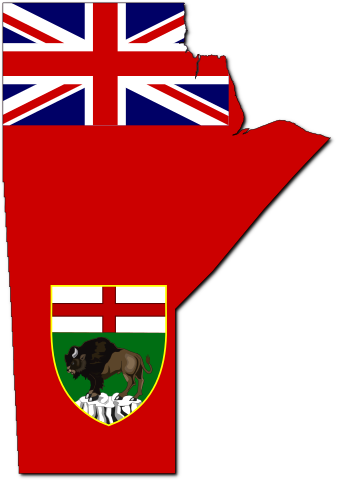
English: Flag-map of Manitoba |
| Date | (UTC) |
| Source | |
| Author |
|
Licensing edit
This file is licensed under the Creative Commons Attribution-Share Alike 3.0 Unported license.
- You are free:
- to share – to copy, distribute and transmit the work
- to remix – to adapt the work
- Under the following conditions:
- attribution – You must give appropriate credit, provide a link to the license, and indicate if changes were made. You may do so in any reasonable manner, but not in any way that suggests the licensor endorses you or your use.
- share alike – If you remix, transform, or build upon the material, you must distribute your contributions under the same or compatible license as the original.
Original upload log edit
This image is a derivative work of the following images:
- File:Canada_Manitoba_location_map.svg licensed with Cc-by-sa-3.0
- 2009-08-28T11:57:45Z NordNordWest 1512x1864 (828380 Bytes) {{int:filedesc}} {{Information |Description= {{de|Positionskarte von [[:de:Manitoba|Manitoba]], [[:de:Kanada|Kanada]]}} Quadratische Plattkarte, N-S-Streckung 170 %. Geographische Begrenzung der Karte: * N: 60.3° N * S: 48.7
- File:Flag_of_Manitoba.svg licensed with PD-author
- 2006-05-04T19:31:25Z Episteme 1000x500 (25298 Bytes) DOCTYPE added
- 2006-03-06T22:09:12Z Denelson83 1000x500 (25199 Bytes) Dimensions rounded off; colour corrected
- 2005-11-26T21:11:38Z Kooma 992x496 (23155 Bytes) {{Information| |Description = Flag of [[:Category:Manitoba|Manitoba]] |Source = [http://www.sodipodi.com/index.php3?section=clipart/flags&area=flags&n=49 Sodipodi's Clipart Gallery] |Date = |Author = James Leigh |Permission
- File:MB_flag-contour.png licensed with PD-self
- 2006-11-24T00:41:39Z Qyd 435x654 (87283 Bytes) {{Information |Description=Contour flag of [[Manitoba]], [[Canada]] |Source=GIS data, flag colors |Date=Nov 2006 |Author={{User|Qyd}} |Permission=All (PD) |other_versions= }} [[Category:Maps of Manitoba]] [[Category:Flag maps
Uploaded with derivativeFX
File history
Click on a date/time to view the file as it appeared at that time.
| Date/Time | Thumbnail | Dimensions | User | Comment | |
|---|---|---|---|---|---|
| current | 03:34, 27 October 2015 | | 358 × 510 (128 KB) | Echando una mano (talk | contribs) | Official coat of arms |
| 22:48, 9 May 2010 |  | 358 × 510 (63 KB) | Svgalbertian (talk | contribs) | Tweek. | |
| 21:44, 9 May 2010 |  | 358 × 510 (63 KB) | Svgalbertian (talk | contribs) | Adjust. | |
| 19:42, 9 May 2010 |  | 358 × 510 (67 KB) | Svgalbertian (talk | contribs) | == {{int:filedesc}} == {{Information |Description={{en|Flag-map of Manitoba}} |Source=*File:Canada_Manitoba_location_map.svg *File:Flag_of_Manitoba.svg *File:MB_flag-contour.png |Date=2010-05-09 19:41 (UTC) |Author=*[[:File:Canada_Manito |
You cannot overwrite this file.
File usage on Commons
The following 5 pages use this file:
File usage on other wikis
The following other wikis use this file:
- Usage on ca.wikipedia.org
- Usage on cs.wikipedia.org
- Usage on cy.wikipedia.org
- Usage on en.wikipedia.org
- Talk:Canadian English
- Talk:Moose
- Neelin
- Talk:French colonization of the Americas
- Talk:Neil Young
- Talk:Michif
- Talk:Taiga
- Talk:Bobcat
- Talk:Canoe
- Talk:Gimli Glider
- Talk:Hudson Bay
- Talk:Ojibwe
- Talk:Louis Riel
- Talk:New France
- Talk:War Plan Red
- Talk:Tommy Prince
- Talk:Ipsos-Reid
- Talk:Winnipeg
- Talk:Battle of Seven Oaks
- Talk:First Nations in Canada
- Talk:J. S. Woodsworth
- Talk:Chris Jericho
- Talk:Venetian Snares
- Talk:Red River Floodway
- Talk:Cree (language)
- Talk:Winnipeg general strike
- Talk:George-Étienne Cartier
- Talk:Manitoba
- Talk:1997 Red River flood
- Dominion City
- West Hawk crater
- Talk:Churchill, Manitoba
- Talk:Royal Regiment of Canadian Artillery
- Talk:Dust Bowl
- Talk:List of communities in Manitoba
- Talk:Rebecca Blaikie
- Forrest, Manitoba
- Talk:Métis
- Talk:Flin Flon
- Talk:Canadian Wheat Board
- Talk:Music of Manitoba
View more global usage of this file.