File:Flag Map of French Cote d'Ivoire (1871 - 1958).png
Size of this preview: 573 × 599 pixels. Other resolutions: 229 × 240 pixels | 459 × 480 pixels | 734 × 768 pixels | 979 × 1,024 pixels | 2,000 × 2,092 pixels.
Original file (2,000 × 2,092 pixels, file size: 83 KB, MIME type: image/png)
Captions
Captions
Add a one-line explanation of what this file represents
Summary edit
.png&action=edit§ion=1)
| Description |
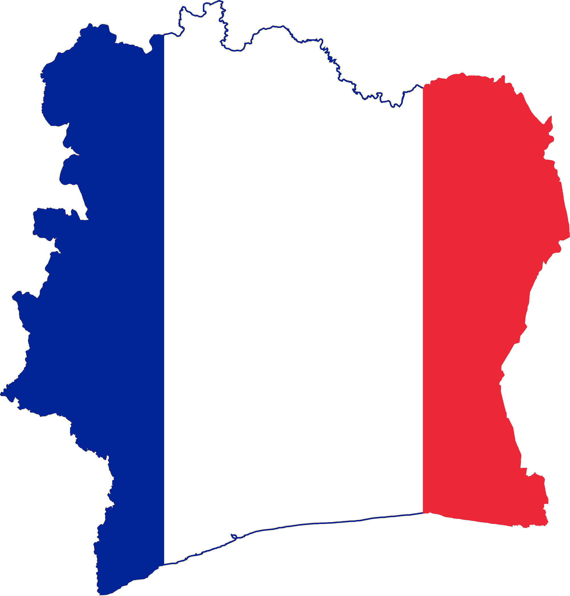
English: Flag map of the French Colony of the Ivory Coast (known by its french name Cote d'Ivoire) |
| Date | |
| Source |
Cote d'Ivoire Flag Map - https://commons.wikimedia.org/wiki/File:Flag-map_of_Cote_d%27Ivoire.svg French Flag - https://commons.wikimedia.org/wiki/File:Flag_of_France.svg |
| Author |
Cote d'Ivoire Flag Map - Darwinek French Flag - SKopp |
Licensing edit
.png&action=edit§ion=2)
This file is licensed under the Creative Commons Attribution 3.0 United States license.
- You are free:
- to share – to copy, distribute and transmit the work
- to remix – to adapt the work
- Under the following conditions:
- attribution – You must give appropriate credit, provide a link to the license, and indicate if changes were made. You may do so in any reasonable manner, but not in any way that suggests the licensor endorses you or your use.


|
This flag map image could be re-created using vector graphics as an SVG file. This has several advantages; see Commons:Media for cleanup for more information. If an SVG form of this image is available, please upload it and afterwards replace this template with
{{vector version available|new image name}}.
It is recommended to name the SVG file “Flag Map of French Cote d'Ivoire (1871 - 1958).svg”—then the template Vector version available (or Vva) does not need the new image name parameter. |
File history
Click on a date/time to view the file as it appeared at that time.
| Date/Time | Thumbnail | Dimensions | User | Comment | |
|---|---|---|---|---|---|
| current | 04:08, 13 July 2012 | | 2,000 × 2,092 (83 KB) | DrRandomFactor (talk | contribs) |
You cannot overwrite this file.
File usage on Commons
There are no pages that use this file.
.png&oldid=701079696)