File:Flag map of Ukraine from January 2014.png

Size of this preview: 600 × 600 pixels. Other resolutions: 240 × 240 pixels | 480 × 480 pixels | 768 × 768 pixels | 1,024 × 1,024 pixels | 1,280 × 1,280 pixels.
Original file (1,280 × 1,280 pixels, file size: 109 KB, MIME type: image/png)
Captions
Captions
Add a one-line explanation of what this file represents
Summary edit
| Description |
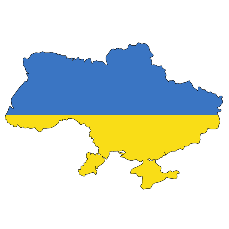
English: Flag map of Ukraine, following the loss of the Crimean peninsula to Russia in 2014 |
|||
| Date | ||||
| Source | Own work | |||
| Author | Elmor | |||
| Other versions |
|


Licensing edit
I, the copyright holder of this work, hereby publish it under the following license:
| This file is made available under the Creative Commons CC0 1.0 Universal Public Domain Dedication. | |
| The person who associated a work with this deed has dedicated the work to the public domain by waiving all of their rights to the work worldwide under copyright law, including all related and neighboring rights, to the extent allowed by law. You can copy, modify, distribute and perform the work, even for commercial purposes, all without asking permission.
|
File history
Click on a date/time to view the file as it appeared at that time.
| Date/Time | Thumbnail | Dimensions | User | Comment | |
|---|---|---|---|---|---|
| current | 18:50, 30 November 2021 | | 1,280 × 1,280 (109 KB) | Mykytal (talk | contribs) | Ukraine within internationally recognized borders |
| 18:46, 30 November 2021 |  | 1,600 × 1,076 (66 KB) | Mykytal (talk | contribs) | Ukraine within internationally recognized borders | |
| 01:39, 20 April 2014 |  | 2,000 × 1,209 (40 KB) | Elmor (talk | contribs) | {{Information |Description ={{en|1=Flag map of Ukraine, following the loss of the Crimean peninsula to Russia in 2014}} |Source ={{own}} |Author ={{U|Elmor}} |Date =2014-04-20 |Permission = |other_versions = }} [[Categ... |
You cannot overwrite this file.
File usage on Commons
The following 7 pages use this file:
File usage on other wikis
The following other wikis use this file:
- Usage on bg.wikipedia.org
- Usage on gl.wikipedia.org
- Ucraína
- Usuario:Piquito
- Iván Mazepa
- Rus de Kíiv
- Portal:Rusia
- Portal:Finlandia
- Portal:Finlandia/Portais relacionados
- Usuario:Elisardojm/PortalFinlandia
- Maya Deren
- Leonid Kuchma
- Vladimir Vernadskii
- Nikolai Nekrasov
- Portal:Rusia/Portais relacionados/1
- Haytarma
- Sergei Bondarchuk
- Filmes de Ucraína propostos ó Óscar ó mellor filme internacional
- Nabarvené ptáče
- Kira Muratova
- Čiara
- Portal:Serbia
- Portal:Serbia/Portais relacionados
- Portal:Bélxica
- Portal:Bélxica/Portais relacionados
- Ucraína nos Xogos Olímpicos
- Ukrayinski sheryfy
- Atlantyda
- Plokhiye dorogi
- Portal:Romanía
- Portal:Romanía/Portais relacionados
- Invasión rusa de Ucraína
- Winter on Fire: Ukraine's Fight for Freedom
- Lei lingüística de Ucraína (2019)
- Rusofilia galiciana
- Qirim
- Nóvgorod-Siversky
- Slovo o plŭku Ígorevě
- Alushta
- A batalla por Sebastopol
- Kona fer í stríð
- Donbass (filme)
- Ígor Svyatoslavich
- Volodymyr Vakulenko
- Cronoloxía da invasión rusa de Ucraína en 2022
- Chernigov
- Sergei Koroliov
- Klondaik
- Petró Poroshenko
- Bolhrad
- Evge
View more global usage of this file.