File:Fleurier Chapeau de Napoleon 01 08.jpg
Original file (1,048 × 1,575 pixels, file size: 751 KB, MIME type: image/jpeg)
Captions
Captions
Summary edit
| Camera location | | View this and other nearby images on: OpenStreetMap |
|---|
| Description |
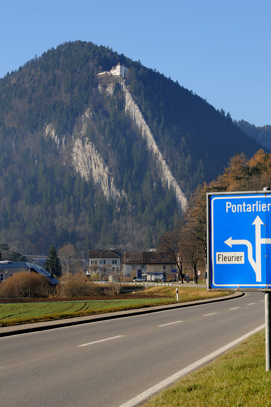
English:
Fleurier, view to Chapeau de Napoléon, Val-de-Travers, Neuchâtel. Deutsch: Fleurier, Sicht auf den Chapeau de Napoléon, Val-de-Travers, Neuenburg. |
| Date | |
| Source | Own work |
| Author | Хрюша |
Licensing edit
- You are free:
- to share – to copy, distribute and transmit the work
- to remix – to adapt the work
- Under the following conditions:
- attribution – You must give appropriate credit, provide a link to the license, and indicate if changes were made. You may do so in any reasonable manner, but not in any way that suggests the licensor endorses you or your use.
- share alike – If you remix, transform, or build upon the material, you must distribute your contributions under the same or compatible license as the original.

|
This media was created by Chriusha/Хрюша.
|
| Attribution (required by the license) | |
| Additional information: | |
|
The mentioned licence on my media is exclusively valid for the version and resolution up to the shown on Wikimedia Commons. Any other version of the shown media or higher resolution optionally available on another website is not included in this licencing and not allowed for free use. | |
|
The values of focal length and aperture in the metadata need to be read with precaution! |
File history
Click on a date/time to view the file as it appeared at that time.
| Date/Time | Thumbnail | Dimensions | User | Comment | |
|---|---|---|---|---|---|
| current | 08:36, 17 November 2008 | | 1,048 × 1,575 (751 KB) | Chriusha (talk | contribs) | == Summary == {{Location|46|54|32.46|N|06|35|13.34|E|type:landmark}} {{Information |Description={{en}}Fleurier, view to Chapeau de Napoléon, Val-de-Travers, Neuchâtel. {{de}}Fleurier, Sicht auf den Chapeau de Napoléon, Val-de-Travers, Neuenburg. |Sourc |
You cannot overwrite this file.
File usage on Commons
The following page uses this file:
File usage on other wikis
The following other wikis use this file:
- Usage on als.wikipedia.org
- Usage on ceb.wikipedia.org
- Usage on de.wikipedia.org
- Usage on lld.wikipedia.org
- Usage on pl.wikipedia.org
- Usage on www.wikidata.org