File:Flickr - Nicholas T - Appalachian Valley (2).jpg

Size of this preview: 800 × 486 pixels. Other resolutions: 320 × 195 pixels | 640 × 389 pixels | 1,024 × 622 pixels | 1,280 × 778 pixels | 2,560 × 1,556 pixels | 4,608 × 2,801 pixels.
Original file (4,608 × 2,801 pixels, file size: 12.51 MB, MIME type: image/jpeg)
Captions
Captions
Add a one-line explanation of what this file represents
Summary edit
.jpg&action=edit§ion=1)
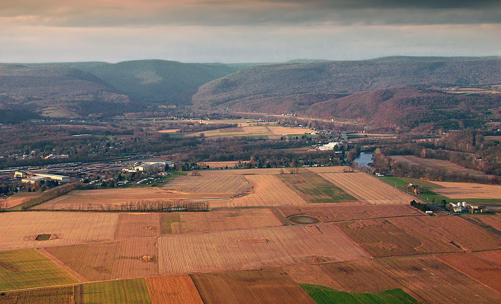
| Description | North view of the West Branch Susquehanna River Valley and the Allegheny Front from Bald Eagle Mountain, Tiadaghton State Forest, Clinton and Lycoming Counties. |
| Date | |
| Source | Appalachian Valley (2) |
| Author | Nicholas A. Tonelli from Pennsylvania, USA |
| Camera location | | View this and other nearby images on: OpenStreetMap |
|---|
.jpg¶ms=041.158010_N_-077.284355_E_globe:Earth_type:camera_source:Flickr_&language=en)
Licensing edit
.jpg&action=edit§ion=2)
This file is licensed under the Creative Commons Attribution 2.0 Generic license.
- You are free:
- to share – to copy, distribute and transmit the work
- to remix – to adapt the work
- Under the following conditions:
- attribution – You must give appropriate credit, provide a link to the license, and indicate if changes were made. You may do so in any reasonable manner, but not in any way that suggests the licensor endorses you or your use.
| This image was originally posted to Flickr by Nicholas_T at https://www.flickr.com/photos/14922165@N00/6343064852. It was reviewed on 10 September 2012 by FlickreviewR and was confirmed to be licensed under the terms of the cc-by-2.0. |
File history
Click on a date/time to view the file as it appeared at that time.
| Date/Time | Thumbnail | Dimensions | User | Comment | |
|---|---|---|---|---|---|
| current | 23:08, 9 September 2012 | | 4,608 × 2,801 (12.51 MB) | Matanya (talk | contribs) | == {{int:filedesc}} == {{Information |Description=North view of the West Branch Susquehanna River Valley and the Allegheny Front from Bald Eagle Mountain, Tiadaghton State Forest, Clinton and Lycoming Counties. |Source=[http://www.flickr.com/photos/nic... |
You cannot overwrite this file.
File usage on Commons
There are no pages that use this file.
.jpg&oldid=486872524)