File:Flooded causeway, Horrid Hill - geograph.org.uk - 371887.jpg
No higher resolution available.
Flooded_causeway,_Horrid_Hill_-_geograph.org.uk_-_371887.jpg (640 × 480 pixels, file size: 118 KB, MIME type: image/jpeg)
Captions
Captions
Add a one-line explanation of what this file represents
Summary edit
| Description |
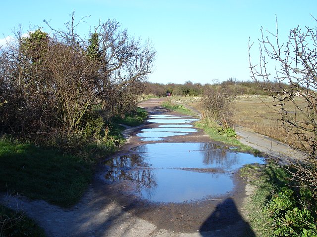
English: Flooded causeway, Horrid Hill Generally speaking the paths in Riverside Country Park are very good but recent stormy weather has left large puddles across this one. Fortunately there is a narrow bypass on the left so I didn't get my feet wet. This causeway was built to join the island of Horrid Hill to the mainland. A cement works was built on Horrid Hill and a small horse-drawn railway used it to carry wagonloads of chalk, quarried from Twydall chalk pit. |
| Date | |
| Source | From geograph.org.uk |
| Author | Penny Mayes |
| Attribution (required by the license) | Penny Mayes / Flooded causeway, Horrid Hill / |
| Camera location | | View this and other nearby images on: OpenStreetMap |
|---|
_heading:22.00&language=en)
| Object location | | View this and other nearby images on: OpenStreetMap |
|---|
_heading:22.00&language=en)
Licensing edit

|
This image was taken from the Geograph project collection. See this photograph's page on the Geograph website for the photographer's contact details. The copyright on this image is owned by Penny Mayes and is licensed for reuse under the Creative Commons Attribution-ShareAlike 2.0 license.
|
This file is licensed under the Creative Commons Attribution-Share Alike 2.0 Generic license.
Attribution: Penny Mayes
- You are free:
- to share – to copy, distribute and transmit the work
- to remix – to adapt the work
- Under the following conditions:
- attribution – You must give appropriate credit, provide a link to the license, and indicate if changes were made. You may do so in any reasonable manner, but not in any way that suggests the licensor endorses you or your use.
- share alike – If you remix, transform, or build upon the material, you must distribute your contributions under the same or compatible license as the original.
- Remove redundant categories and try to put this image in the most specific category/categories
- Remove this template
- The location categories are based on information from this geonames tool and this OpenStreetMap tool combined with a database. You can also have a look at this tool from mysociety.
- The topic category from Geograph was Peninsula (find similar images at Geograph)
File history
Click on a date/time to view the file as it appeared at that time.
| Date/Time | Thumbnail | Dimensions | User | Comment | |
|---|---|---|---|---|---|
| current | 20:38, 4 January 2011 | | 640 × 480 (118 KB) | GeographBot (talk | contribs) | == {{int:filedesc}} == {{Information |description={{en|1=Flooded causeway, Horrid Hill Generally speaking the paths in Riverside Country Park are very good but recent stormy weather has left large puddles across this one. Fortunately there is a narrow byp |
You cannot overwrite this file.
File usage on Commons
There are no pages that use this file.