File:Frey-Haverstick Site.jpg

Size of this preview: 800 × 532 pixels. Other resolutions: 320 × 213 pixels | 640 × 426 pixels | 1,024 × 681 pixels | 1,280 × 851 pixels | 2,560 × 1,702 pixels | 6,016 × 4,000 pixels.
Original file (6,016 × 4,000 pixels, file size: 6.45 MB, MIME type: image/jpeg)
Captions
Captions
Add a one-line explanation of what this file represents
|
This is an image of a place or building that is listed on the National Register of Historic Places in the United States of America. Its reference number is 86000819. |
| Camera location | | View this and other nearby images on: OpenStreetMap |
|---|
| Description |
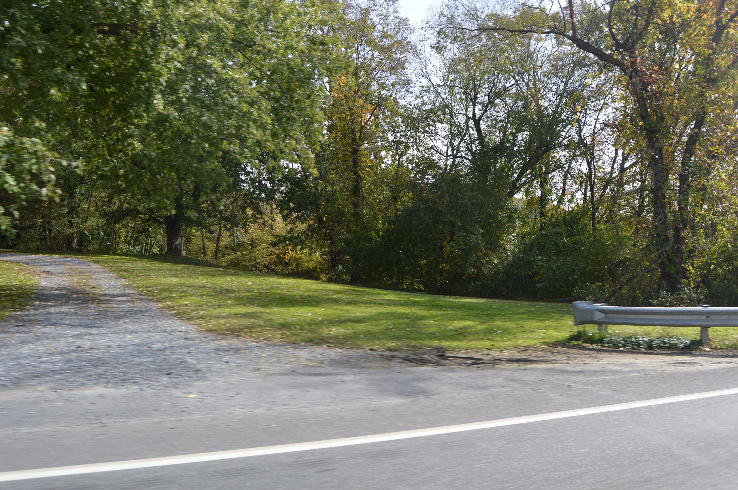
English: Overview of the southern section of the Frey-Haverstick Site, seen looking east from Water Street (Route 441 on the northern edge of Washington Boro, Pennsylvania, United States. Once a village of the Conestoga Indians, it is now a significant archaeological site, and it has been listed on the National Register of Historic Places. |
||
| Date | Taken on 20 October 2014 | ||
| Source | Own work | ||
| Author | Nyttend | ||
| Permission (Reusing this file) |
|
File history
Click on a date/time to view the file as it appeared at that time.
| Date/Time | Thumbnail | Dimensions | User | Comment | |
|---|---|---|---|---|---|
| current | 15:05, 3 November 2014 | | 6,016 × 4,000 (6.45 MB) | Nyttend (talk | contribs) | {{NRHP|86000819}} {{Location|39|59|44|N|76|28|19|W}} {{Information |Description={{en|Overview of the southern section of the {{w|Frey-Haverstick Site}}, seen looking east from Water Street ({{w|Pennsylvania Route 441|Route 441}} on the northern edge of... |
You cannot overwrite this file.
File usage on Commons
There are no pages that use this file.
File usage on other wikis
The following other wikis use this file: