File:Friedenskirche Dresden-Löbtau (4).JPG

Size of this preview: 451 × 599 pixels. Other resolutions: 180 × 240 pixels | 361 × 480 pixels | 578 × 768 pixels | 770 × 1,024 pixels | 1,301 × 1,729 pixels.
Original file (1,301 × 1,729 pixels, file size: 373 KB, MIME type: image/jpeg)
Captions
Captions
Add a one-line explanation of what this file represents
Summary edit
.JPG&action=edit§ion=1)
| Description |
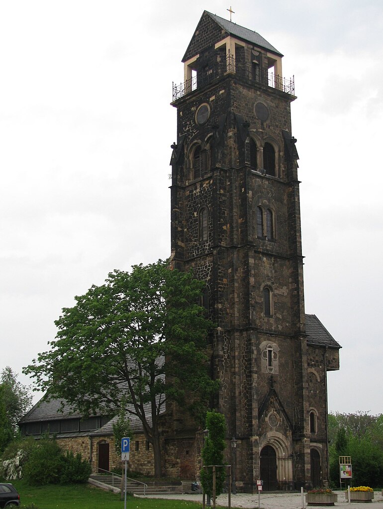
English: Friedenskirche Dresden-Löbtau: The Church was destroyed in 1945. The auxiliary church of 1949 by Otto Bartning is still in use.
Deutsch: Friedenskirche Dresden-Löbtau: Die Kirche wurde 1945 zerstört. 1947 wurde eine Notkirche durch Otto Bartning eingerichtet, die noch heute genutzt wird. |
| Date | |
| Source | Own work |
| Author | WikiAnika |
| Camera location | | View this and other nearby images on: OpenStreetMap |
|---|
.JPG¶ms=051.044731_N_0013.699886_E_globe:Earth_type:camera_region:DE_heading:22.50&language=en)
Licensing edit
.JPG&action=edit§ion=2)
I, the copyright holder of this work, hereby publish it under the following license:
This file is licensed under the Creative Commons Attribution-Share Alike 3.0 Unported license.
- You are free:
- to share – to copy, distribute and transmit the work
- to remix – to adapt the work
- Under the following conditions:
- attribution – You must give appropriate credit, provide a link to the license, and indicate if changes were made. You may do so in any reasonable manner, but not in any way that suggests the licensor endorses you or your use.
- share alike – If you remix, transform, or build upon the material, you must distribute your contributions under the same or compatible license as the original.
File history
Click on a date/time to view the file as it appeared at that time.
| Date/Time | Thumbnail | Dimensions | User | Comment | |
|---|---|---|---|---|---|
| current | 20:03, 30 April 2009 | | 1,301 × 1,729 (373 KB) | WikiAnika (talk | contribs) | {{Information |Description={{en|1=Friedenskirche Dresden-Löbtau}} |Source=Eigenes Werk (own work) |Author=WikiAnika |Date=2008-04-30 |Permission= |other_versions= }} {{location|51|2|41.03|N|13|41|59.59|E|region:DE_heading:NNE}} <!--{{I |
You cannot overwrite this file.
File usage on Commons
The following page uses this file:
.JPG&oldid=787285018)