File:Fukushima Prefectural Road Route 268 (Kusano Okura Kashima Line) at Yokote, Kashima Ward, Minamisoma City.jpg

Size of this preview: 800 × 532 pixels. Other resolutions: 320 × 213 pixels | 640 × 426 pixels | 1,024 × 682 pixels | 1,280 × 852 pixels | 2,560 × 1,704 pixels | 4,928 × 3,280 pixels.
Original file (4,928 × 3,280 pixels, file size: 5.88 MB, MIME type: image/jpeg)
Captions
Captions
Add a one-line explanation of what this file represents
Summary edit
_at_Yokote,_Kashima_Ward,_Minamisoma_City.jpg&action=edit§ion=1)
| Description |
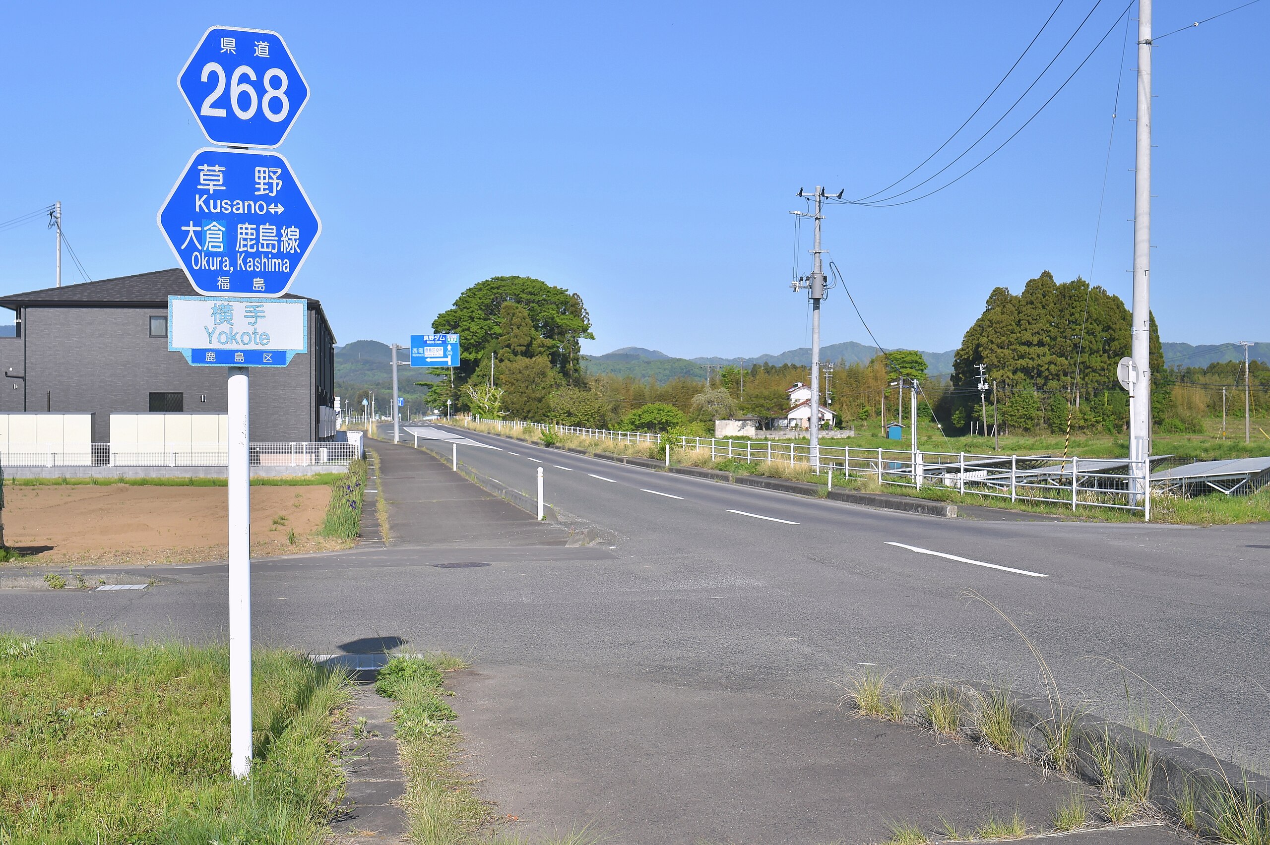
日本語: 福島県道268号草野大倉鹿島線(南相馬市鹿島区横手) |
| Date | |
| Source | Own work |
| Author | 小石川人晃 |
| Camera location | | View this and other nearby images on: OpenStreetMap |
|---|
_at_Yokote,_Kashima_Ward,_Minamisoma_City.jpg¶ms=037.712220_N_0140.959440_E_globe:Earth_type:camera_heading:270.00&language=en)
Nikon D4S + TAMRON SP 45mm F/1.8 Di VC USD (Model F013) + Kenko ZX C-PL
Licensing edit
_at_Yokote,_Kashima_Ward,_Minamisoma_City.jpg&action=edit§ion=2)
I, the copyright holder of this work, hereby publish it under the following license:
This file is licensed under the Creative Commons Attribution-Share Alike 4.0 International license.
- You are free:
- to share – to copy, distribute and transmit the work
- to remix – to adapt the work
- Under the following conditions:
- attribution – You must give appropriate credit, provide a link to the license, and indicate if changes were made. You may do so in any reasonable manner, but not in any way that suggests the licensor endorses you or your use.
- share alike – If you remix, transform, or build upon the material, you must distribute your contributions under the same or compatible license as the original.
File history
Click on a date/time to view the file as it appeared at that time.
| Date/Time | Thumbnail | Dimensions | User | Comment | |
|---|---|---|---|---|---|
| current | 01:40, 6 May 2024 | | 4,928 × 3,280 (5.88 MB) | 小石川人晃 (talk | contribs) | Uploaded own work with UploadWizard |
You cannot overwrite this file.
File usage on Commons
There are no pages that use this file.
File usage on other wikis
The following other wikis use this file:
- Usage on ja.wikipedia.org
_at_Yokote,_Kashima_Ward,_Minamisoma_City.jpg&oldid=874378881)