File:Fukushima prefectural road route 358 (Kawamae station-Kamimisaka line) in Miwamachi Saiso,Iwaki city.JPG

Size of this preview: 800 × 532 pixels. Other resolutions: 320 × 213 pixels | 640 × 425 pixels | 1,024 × 680 pixels | 1,280 × 851 pixels | 2,560 × 1,701 pixels | 3,696 × 2,456 pixels.
Original file (3,696 × 2,456 pixels, file size: 6.86 MB, MIME type: image/jpeg)
Captions
Captions
Add a one-line explanation of what this file represents
Summary edit
_in_Miwamachi_Saiso,Iwaki_city.JPG&action=edit§ion=1)
| Description |
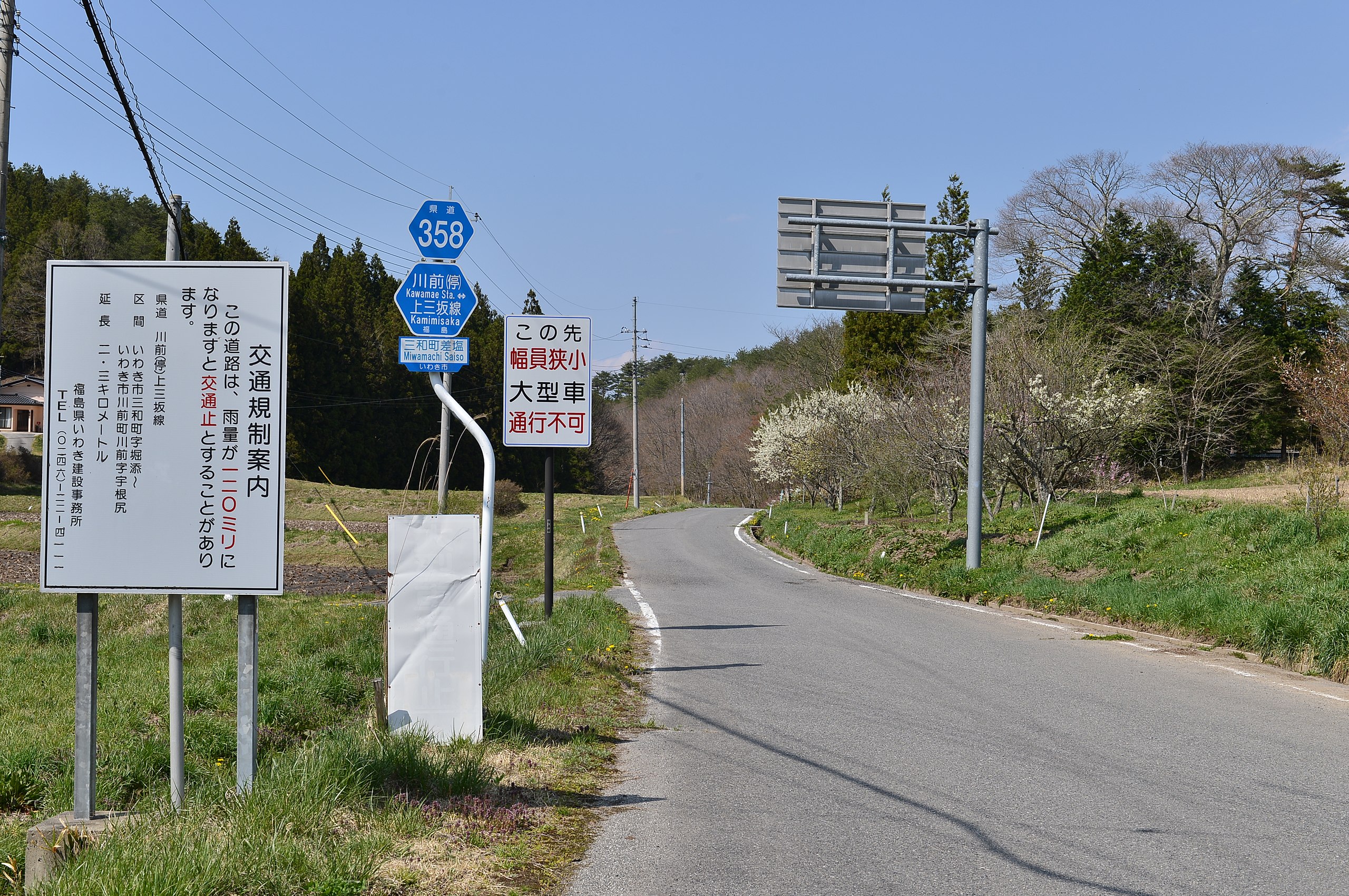
日本語: 福島県道358号川前停車場上三坂線(いわき市三和町差塩) |
| Date | |
| Source | Own work |
| Author | 小石川人晃 |
| Camera location | | View this and other nearby images on: OpenStreetMap |
|---|
_in_Miwamachi_Saiso,Iwaki_city.JPG¶ms=037.200486_N_0140.721201_E_globe:Earth_type:camera_heading:10.00&language=en)
いわき市三和町差塩(さいそ)からいわき市川前町川前までの区間は、急峻なうえ幅員狭小で、大雨時の通行止め通行規制がされる。
Licensing edit
_in_Miwamachi_Saiso,Iwaki_city.JPG&action=edit§ion=2)
I, the copyright holder of this work, hereby publish it under the following license:
This file is licensed under the Creative Commons Attribution-Share Alike 4.0 International license.
- You are free:
- to share – to copy, distribute and transmit the work
- to remix – to adapt the work
- Under the following conditions:
- attribution – You must give appropriate credit, provide a link to the license, and indicate if changes were made. You may do so in any reasonable manner, but not in any way that suggests the licensor endorses you or your use.
- share alike – If you remix, transform, or build upon the material, you must distribute your contributions under the same or compatible license as the original.
File history
Click on a date/time to view the file as it appeared at that time.
| Date/Time | Thumbnail | Dimensions | User | Comment | |
|---|---|---|---|---|---|
| current | 00:37, 4 May 2015 | | 3,696 × 2,456 (6.86 MB) | 小石川人晃 (talk | contribs) | User created page with UploadWizard |
You cannot overwrite this file.
File usage on Commons
There are no pages that use this file.
File usage on other wikis
The following other wikis use this file:
- Usage on ja.wikipedia.org
_in_Miwamachi_Saiso,Iwaki_city.JPG&oldid=597074354)