File:GARAGE AT EAST END OF EMBANKMENT, NORTH AND EAST SIDES. - Prado Dam, Service Vehicle Garage, Santa Ana River near junction of State Highways 71 and 91, Corona, Riverside County HAER CAL,33-CORO.V,1D-1.tif
Size of this JPG preview of this TIF file: 745 × 600 pixels. Other resolutions: 298 × 240 pixels | 597 × 480 pixels | 954 × 768 pixels | 1,272 × 1,024 pixels | 2,545 × 2,048 pixels | 5,000 × 4,024 pixels.
Original file (5,000 × 4,024 pixels, file size: 19.19 MB, MIME type: image/tiff)
Captions
Captions
Add a one-line explanation of what this file represents
Summary edit
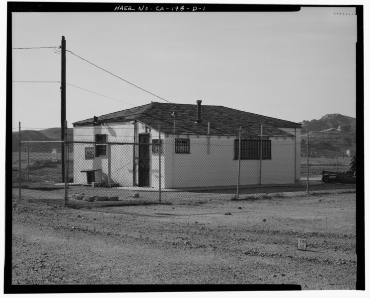
| GARAGE AT EAST END OF EMBANKMENT, NORTH AND EAST SIDES. - Prado Dam, Service Vehicle Garage, Santa Ana River near junction of State Highways 71 and 91, Corona, Riverside County, CA | ||||
|---|---|---|---|---|
| Photographer |
Related names:
|
|||
| Title |
GARAGE AT EAST END OF EMBANKMENT, NORTH AND EAST SIDES. - Prado Dam, Service Vehicle Garage, Santa Ana River near junction of State Highways 71 and 91, Corona, Riverside County, CA |
|||
| Depicted place | California; Riverside County; Corona | |||
| Date | Documentation compiled after 1968 | |||
| Dimensions | 4 x 5 in. | |||
| Current location |
Library of Congress Prints and Photographs Division Washington, D.C. 20540 USA http://hdl.loc.gov/loc.pnp/pp.print |
|||
| Accession number |
HAER CAL,33-CORO.V,1D-1 |
|||
| Credit line |
|
|||
| Notes |
|
|||
| Source | https://www.loc.gov/pictures/item/ca2459.photos.315656p | |||
| Permission (Reusing this file) |
|
|||

| Camera location | | View this and other nearby images on: OpenStreetMap |
|---|
File history
Click on a date/time to view the file as it appeared at that time.
| Date/Time | Thumbnail | Dimensions | User | Comment | |
|---|---|---|---|---|---|
| current | 21:20, 6 July 2014 |  | 5,000 × 4,024 (19.19 MB) | Fæ (talk | contribs) | GWToolset: Creating mediafile for Fæ. HABS 05 July 2014 (401:500) |
You cannot overwrite this file.
File usage on Commons
The following page uses this file: