File:Gare de Le Quesnel.jpg
Size of this preview: 800 × 370 pixels. Other resolutions: 320 × 148 pixels | 640 × 296 pixels | 1,024 × 473 pixels | 1,844 × 852 pixels.
Original file (1,844 × 852 pixels, file size: 279 KB, MIME type: image/jpeg)
Captions
Captions
Add a one-line explanation of what this file represents
Summary edit
| Description |
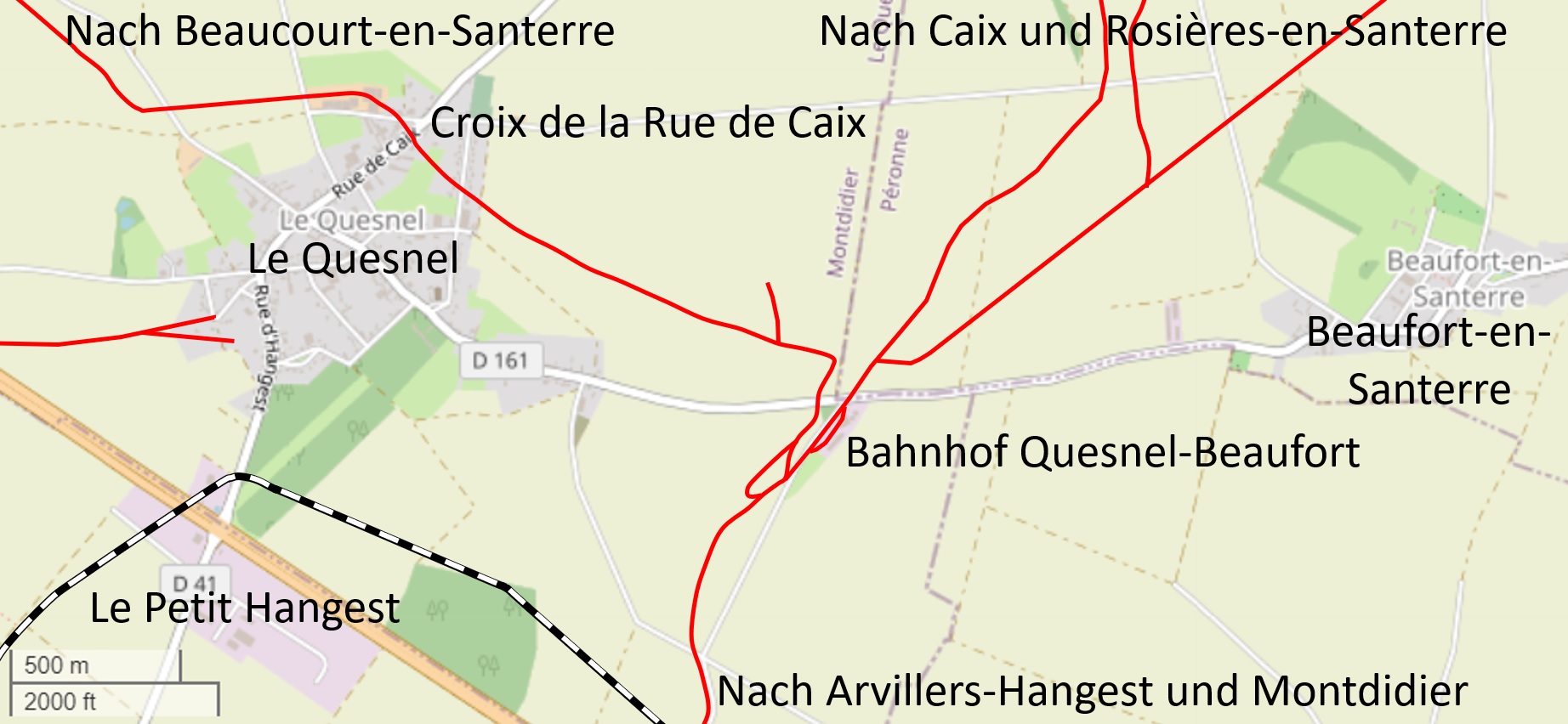
Français : Gare de Le Quesnel |
| Date | and 2020 |
| Source | |
| Author |
OpenStreetMap Mitwirkende Kartograph eines alter Kartenausschnitts Editor eine Collage aus altem Kartenausschnitt und heutigem Satellitenbild NearEMPTiness |
Licensing edit
This file is licensed under the Creative Commons Attribution-Share Alike 2.5 Generic license.
- You are free:
- to share – to copy, distribute and transmit the work
- to remix – to adapt the work
- Under the following conditions:
- attribution – You must give appropriate credit, provide a link to the license, and indicate if changes were made. You may do so in any reasonable manner, but not in any way that suggests the licensor endorses you or your use.
- share alike – If you remix, transform, or build upon the material, you must distribute your contributions under the same or compatible license as the original.
File history
Click on a date/time to view the file as it appeared at that time.
| Date/Time | Thumbnail | Dimensions | User | Comment | |
|---|---|---|---|---|---|
| current | 16:55, 10 October 2020 | | 1,844 × 852 (279 KB) | NearEMPTiness (talk | contribs) | Version 2.1 |
| 16:32, 10 October 2020 |  | 1,838 × 848 (273 KB) | NearEMPTiness (talk | contribs) | Version 2.0 | |
| 11:32, 2 October 2020 |  | 1,846 × 860 (276 KB) | NearEMPTiness (talk | contribs) | Version 1.2 Le Petit Hangest | |
| 11:03, 2 October 2020 |  | 1,842 × 860 (279 KB) | NearEMPTiness (talk | contribs) | Version 1.1 | |
| 21:37, 1 October 2020 |  | 1,844 × 866 (254 KB) | NearEMPTiness (talk | contribs) | Uploaded a work by OpenStreetMap Mitwirkende Kartograph eines alter Kartenausschnitts Editor eine Collage aus altem Kartenausschnitt und heutigem Satellitenbild NearEMPTiness from * [https://www.openstreetmap.org/#map=14/49.7732/2.6408 OpenStreetMap] * [https://www.facebook.com/LeQuesnelPatrimoineEtTraditions/photos/pcb.154412522741150/154414276074308/ Le Quesnel Patrimoine et Traditions] * [https://lequesnel.forumactif.org/t232-photos-de-le-quesnel-pendant-la-guerre#7... |
You cannot overwrite this file.
File usage on Commons
The following 2 pages use this file:
File usage on other wikis
The following other wikis use this file:
- Usage on ceb.wikipedia.org
- Usage on de.wikipedia.org