File:Gemarkungsplan Speierer Grün 1880 Landesarchiv Baden-Wuerttemberg GLA Karlsruhe H-1 Nr. 1774 Bild 1 (4-469523-1).jpg
Size of this preview: 723 × 599 pixels. Other resolutions: 290 × 240 pixels | 579 × 480 pixels | 927 × 768 pixels | 1,235 × 1,024 pixels | 2,471 × 2,048 pixels | 4,214 × 3,493 pixels.
Original file (4,214 × 3,493 pixels, file size: 5.36 MB, MIME type: image/jpeg)
Captions
Captions
Add a one-line explanation of what this file represents
Summary edit
.jpg&action=edit§ion=1)
| Description |
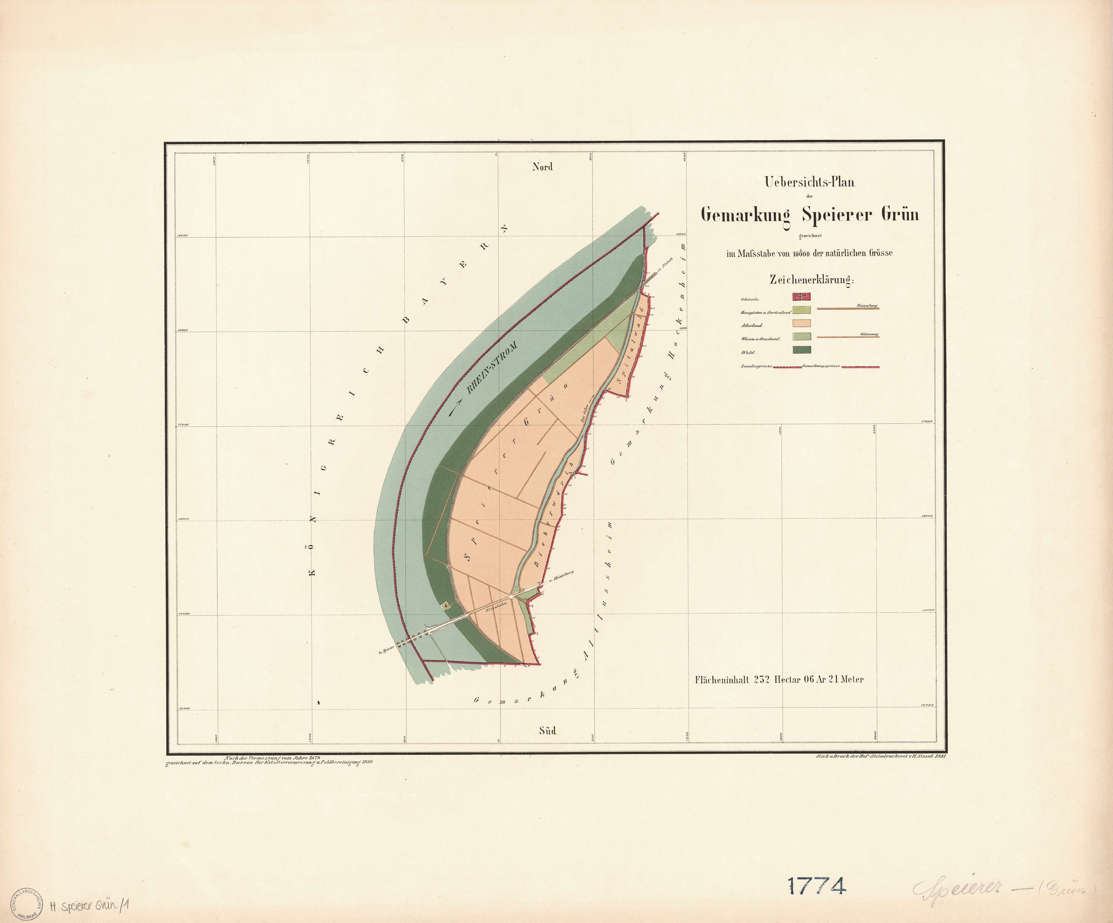
Deutsch: Gemarkungsplan des gemeindefreien Gebietes Speyerer Grün |
| Date | |
| Source | Landesarchiv Baden-Wüttemberg |
| Author | Technisches Bureau für Katastervermessung und Feldbereinigung |
Licensing edit
.jpg&action=edit§ion=2)
|
This work is in the public domain in its country of origin and other countries and areas where the copyright term is the author's life plus 70 years or fewer. This work is in the public domain in the United States because it was published (or registered with the U.S. Copyright Office) before January 1, 1929. | |
| This file has been identified as being free of known restrictions under copyright law, including all related and neighboring rights. | |
File history
Click on a date/time to view the file as it appeared at that time.
| Date/Time | Thumbnail | Dimensions | User | Comment | |
|---|---|---|---|---|---|
| current | 14:13, 23 June 2022 | | 4,214 × 3,493 (5.36 MB) | Kallewirsch (talk | contribs) | Uploaded a work by Technisches Bureau für Katastervermessung und Feldbereinigung from [http://www.landesarchiv-bw.de/plink/?f=4-469523-1 Landesarchiv Baden-Wüttemberg] with UploadWizard |
You cannot overwrite this file.
File usage on Commons
There are no pages that use this file.
File usage on other wikis
The following other wikis use this file:
- Usage on de.wikipedia.org
.jpg&oldid=754050387)