File:Gemeine Waldschwebfliege südlich von Mistendorf.jpg

Size of this preview: 754 × 600 pixels. Other resolutions: 302 × 240 pixels | 604 × 480 pixels | 966 × 768 pixels | 1,280 × 1,018 pixels | 2,022 × 1,608 pixels.
Original file (2,022 × 1,608 pixels, file size: 810 KB, MIME type: image/jpeg)
Captions
Captions
Add a one-line explanation of what this file represents
Summary edit
| Description |
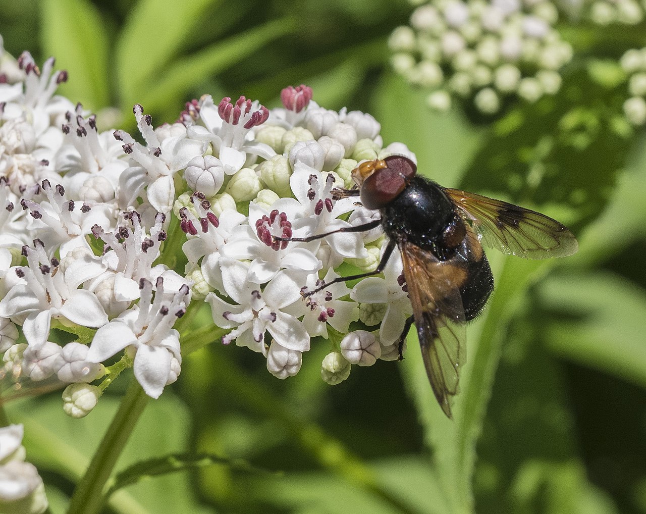
Deutsch: FFH-Gebiet "Albtrauf von der Friesener Warte zur Langen Meile" |
| Date | |
| Source |
Own work This photo was taken with Fujifilm XF10 |
| Author | Stephan van Helden |
| Camera location | | View this and other nearby images on: OpenStreetMap |
|---|
Das Bild wurde in den folgenden Schutzgebieten aufgenommen:
|
Licensing edit
I, the copyright holder of this work, hereby publish it under the following license:
This file is licensed under the Creative Commons Attribution-Share Alike 4.0 International license.
- You are free:
- to share – to copy, distribute and transmit the work
- to remix – to adapt the work
- Under the following conditions:
- attribution – You must give appropriate credit, provide a link to the license, and indicate if changes were made. You may do so in any reasonable manner, but not in any way that suggests the licensor endorses you or your use.
- share alike – If you remix, transform, or build upon the material, you must distribute your contributions under the same or compatible license as the original.
This image was uploaded as part of Wiki Loves Earth 2021.
|
 |
File history
Click on a date/time to view the file as it appeared at that time.
| Date/Time | Thumbnail | Dimensions | User | Comment | |
|---|---|---|---|---|---|
| current | 05:56, 13 May 2021 | | 2,022 × 1,608 (810 KB) | Plozessor (talk | contribs) | Uploaded own work with UploadWizard |
You cannot overwrite this file.
File usage on Commons
The following page uses this file:
File usage on other wikis
The following other wikis use this file:
- Usage on de.wikipedia.org