File:General soil map, Brown and Mills counties, Texas. LOC 92682534.tif

Size of this JPG preview of this TIF file: 458 × 600 pixels. Other resolutions: 183 × 240 pixels | 366 × 480 pixels | 586 × 768 pixels | 782 × 1,024 pixels | 1,564 × 2,048 pixels | 5,828 × 7,632 pixels.
Original file (5,828 × 7,632 pixels, file size: 127.26 MB, MIME type: image/tiff)
Captions
Captions
Add a one-line explanation of what this file represents
Summary edit
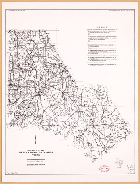
| Description |
English: "March 1974 4-R-33786." In upper margin: U.S. Department of Agriculture, Soil Conservation Service, Temple, Texas. "Base compiled from general highway maps." Includes location map. Available also through the Library of Congress Web site as a raster image. |
||
| Title | General soil map, Brown and Mills counties, Texas. | ||
| Shelf ID | G4033.B86J3 1974 .U5 | ||
| Date | |||
| Source | https://www.loc.gov/item/92682534/ | ||
| Author | National Cartographic Center (U.S.); United States. Soil Conservation Service | ||
| Permission (Reusing this file) |
|
||
| Other versions |
|
||
| Location | Mills County. · Brown County. · Mills County · Brown County · United States · Texas | ||
| Part of | American Memory · Catalog · Geography And Map Division · Additional Conservation And Environment Cartographic Items | ||
| Subject | Soils · Mills County · Brown County · United States · Maps · Texas |


Licensing edit
| This work is from the Library of Congress. According to the library, there are no known copyright restrictions on the use of this work. |  |
File history
Click on a date/time to view the file as it appeared at that time.
| Date/Time | Thumbnail | Dimensions | User | Comment | |
|---|---|---|---|---|---|
| current | 03:12, 8 January 2020 |  | 5,828 × 7,632 (127.26 MB) | Fæ (talk | contribs) | LOC Maps https://www.loc.gov/item/92682534/ #9937 |
You cannot overwrite this file.
File usage on Commons
The following page uses this file: