File:Geodesic dome house on East Collins Road in Gillette, Wyoming.jpg
Size of this preview: 800 × 533 pixels. Other resolutions: 320 × 213 pixels | 640 × 427 pixels | 1,024 × 683 pixels | 1,280 × 853 pixels | 2,560 × 1,707 pixels | 5,184 × 3,456 pixels.
Original file (5,184 × 3,456 pixels, file size: 10.61 MB, MIME type: image/jpeg)
Captions
Captions
Add a one-line explanation of what this file represents
Summary edit
| Description |
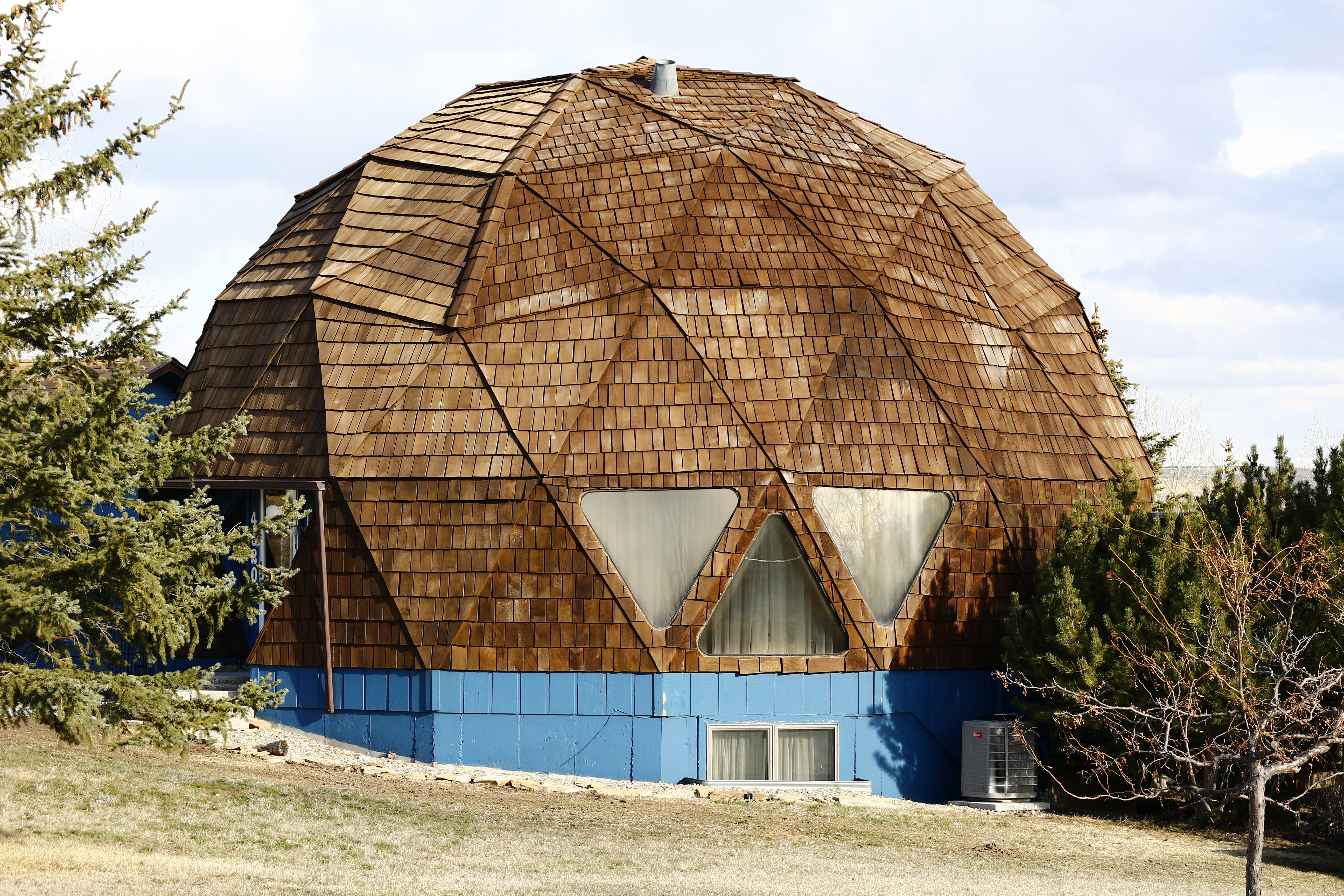
English: Geodesic dome house on East Collins Road in Gillette, Wyoming |
||
| Date | |||
| Source | Own work | ||
| Author | Mr. Satterly | ||
| Permission (Reusing this file) |
I, the copyright holder of this work, hereby publish it under the following license:
|
| Camera location | | View this and other nearby images on: OpenStreetMap |
|---|
File history
Click on a date/time to view the file as it appeared at that time.
| Date/Time | Thumbnail | Dimensions | User | Comment | |
|---|---|---|---|---|---|
| current | 15:38, 2 April 2019 | | 5,184 × 3,456 (10.61 MB) | Mr. Satterly (talk | contribs) | {{Information |description={{en|1=Geodesic dome house on East Collins Road in Gillette, Wyoming}} |date=2019-04-01 |source={{own}} |author=Mr. Satterly |permission={{WTFPL}} |other versions= }} Category:Houses in Gillette, Wyoming Category:Geodesic domes Category:Taken with Canon EOS M2 |
You cannot overwrite this file.
File usage on Commons
The following 2 pages use this file: