File:Glacier Lily - Flickr - brewbooks (3).jpg
Size of this preview: 623 × 600 pixels. Other resolutions: 249 × 240 pixels | 499 × 480 pixels | 798 × 768 pixels | 1,063 × 1,024 pixels | 2,398 × 2,309 pixels.
Original file (2,398 × 2,309 pixels, file size: 2.12 MB, MIME type: image/jpeg)
Captions
Captions
Add a one-line explanation of what this file represents
Summary edit
.jpg&action=edit§ion=1)
| Description |
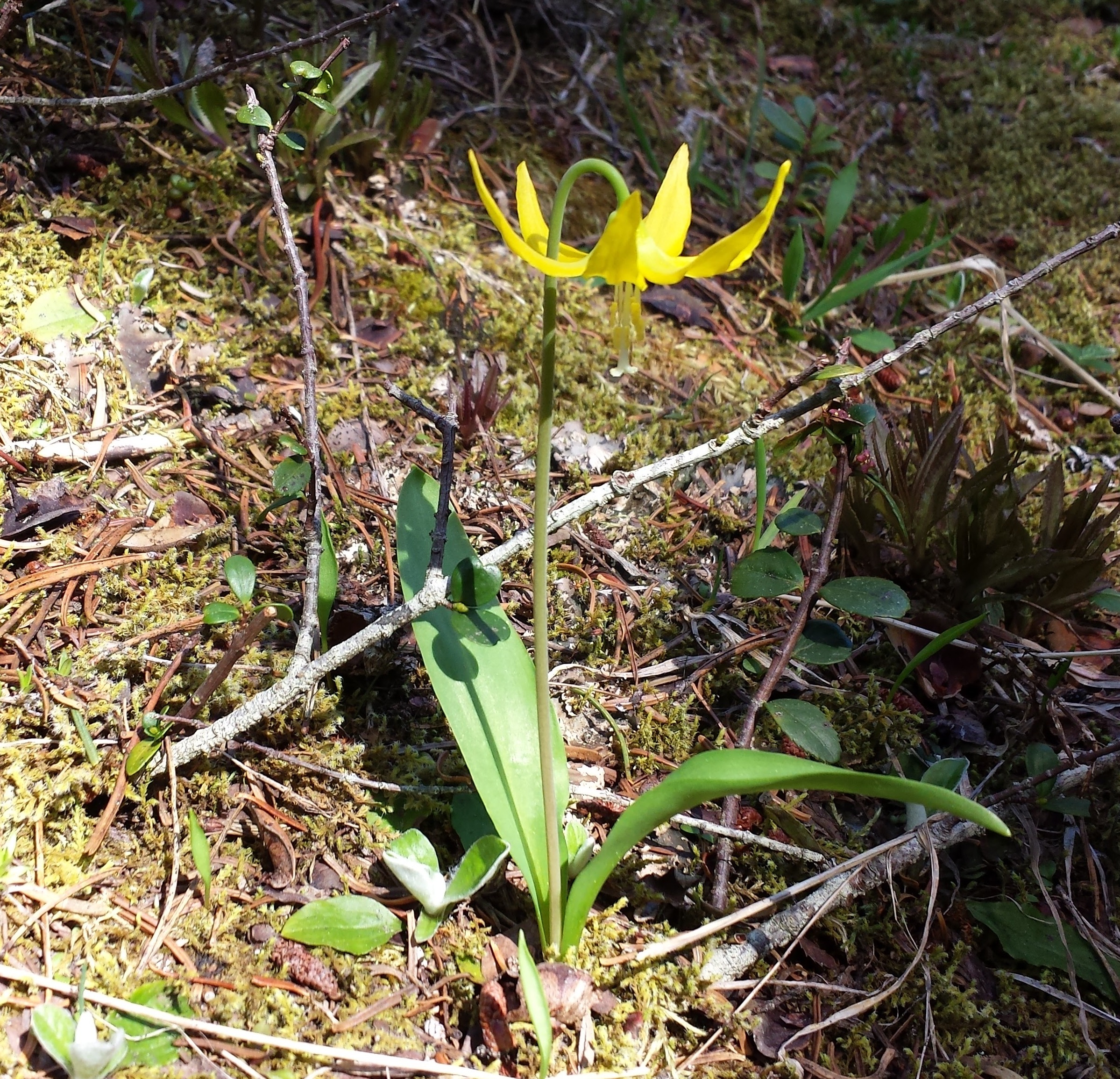
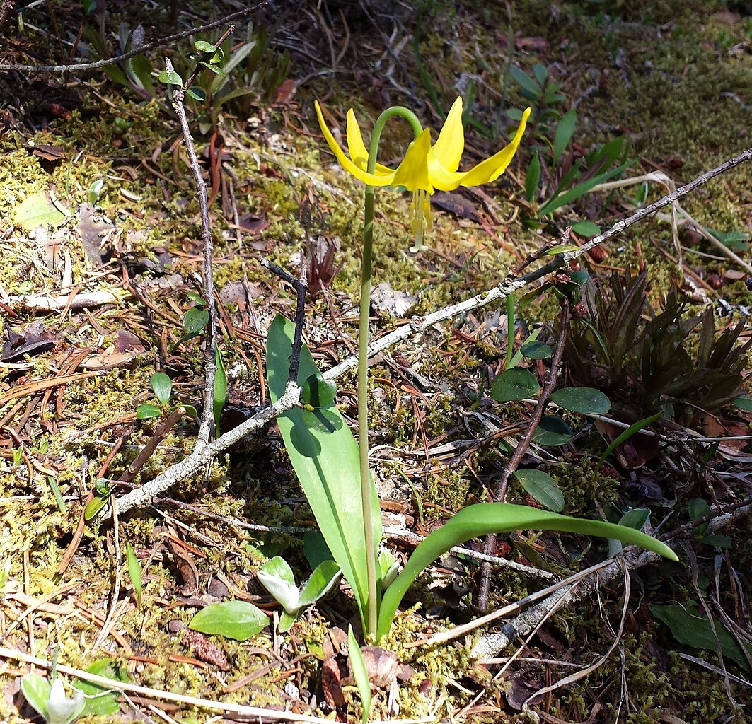
Erythronium grandiflorum (Glacier Lily) Elevation 1550 meters (5100 feet) Mount Townsend ( Trail 839) Olympic National Forest, Hood Canal Ranger District IMG_20160604_101220 |
| Date | |
| Source | Glacier Lily |
| Author | brewbooks from near Seattle, USA |
| Camera location | | View this and other nearby images on: OpenStreetMap |
|---|
.jpg¶ms=047.858577_N_-123.055984_E_globe:Earth_type:camera_source:Flickr_&language=en)
Licensing edit
.jpg&action=edit§ion=2)
This file is licensed under the Creative Commons Attribution-Share Alike 2.0 Generic license.
- You are free:
- to share – to copy, distribute and transmit the work
- to remix – to adapt the work
- Under the following conditions:
- attribution – You must give appropriate credit, provide a link to the license, and indicate if changes were made. You may do so in any reasonable manner, but not in any way that suggests the licensor endorses you or your use.
- share alike – If you remix, transform, or build upon the material, you must distribute your contributions under the same or compatible license as the original.
| This image was originally posted to Flickr by brewbooks at https://flickr.com/photos/93452909@N00/27414557040. It was reviewed on 18 September 2016 by FlickreviewR and was confirmed to be licensed under the terms of the cc-by-sa-2.0. |
File history
Click on a date/time to view the file as it appeared at that time.
| Date/Time | Thumbnail | Dimensions | User | Comment | |
|---|---|---|---|---|---|
| current | 15:40, 18 September 2016 | | 2,398 × 2,309 (2.12 MB) | Josve05a (talk | contribs) | == {{int:filedesc}} == {{Information |Description=Erythronium grandiflorum (Glacier Lily) Elevation 1550 meters (5100 feet) Mount Townsend ( Trail 839) Olympic National Forest, Hood Canal Ranger District IMG_20160604_101220 |Source=[https://www.fl... |
You cannot overwrite this file.
File usage on Commons
There are no pages that use this file.
.jpg&oldid=733855331)