File:Gnadenwald.jpg

Size of this preview: 800 × 262 pixels. Other resolutions: 320 × 105 pixels | 640 × 209 pixels | 1,024 × 335 pixels | 1,280 × 419 pixels | 3,884 × 1,271 pixels.
Original file (3,884 × 1,271 pixels, file size: 3.81 MB, MIME type: image/jpeg)
Captions
Captions
Add a one-line explanation of what this file represents
Summary edit
| Description |
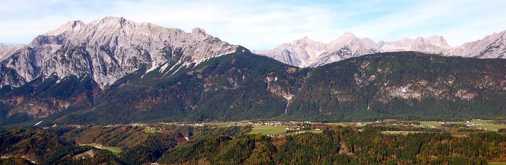
English: Gnadenwald Karwendelgebirge Süd, Austria. Mountains from left to right: Gleirsch-Halltal-Kette: Großer Bettelwurf 2726m, Hohe Fürleg 2570m, Hundskopf 2243m. Hinterautal-Vomper-Kette: Eiskarlspitze 2610m, Hochglück 2573m, Lamsenspitze 2508m
Deutsch: Gnadenwald Karwendelgebirge Süd. Berge von links nach rechts: Gleirsch-Halltal-Kette: Großer Bettelwurf 2726m, Hohe Fürleg 2570m, Hundskopf 2243m. Hinterautal-Vomper-Kette: Eiskarlspitze 2610m, Hochglück 2573m, Lamsenspitze 2508m |
| Date | |
| Source | Own work |
| Author | HellasX |
Licensing edit
| I, the copyright holder of this work, release this work into the public domain. This applies worldwide. In some countries this may not be legally possible; if so: I grant anyone the right to use this work for any purpose, without any conditions, unless such conditions are required by law. |
| Annotations | This image is annotated: View the annotations at Commons |
File history
Click on a date/time to view the file as it appeared at that time.
| Date/Time | Thumbnail | Dimensions | User | Comment | |
|---|---|---|---|---|---|
| current | 17:19, 8 January 2009 | 3,884 × 1,271 (3.81 MB) | HellasX (talk | contribs) | {{Information |Description= |Source= |Date= |Author= |Permission= |other_versions= }} | |
| 16:46, 8 January 2009 | 3,884 × 1,271 (3.24 MB) | HellasX (talk | contribs) | {{Information |Description={{en|1=Gnadenwald Karwendelgebirge Süd, Austria. Mountains from left to right: Gleirsch-Halltal-Kette: Großer Lafatscher 2696m, Kleiner Lafatscher 2636m, Speckkarspitze 2621m, Kleiner Bettelwurf 2650m, Großer Bettelwurf 2726m |
You cannot overwrite this file.
File usage on Commons
The following page uses this file:
File usage on other wikis
The following other wikis use this file:
- Usage on cs.wikipedia.org
- Usage on de.wikipedia.org
- Usage on it.wikipedia.org
- Usage on pt.wikipedia.org
- Usage on sk.wikipedia.org
- Usage on sv.wikipedia.org
- Usage on uk.wikipedia.org
- Usage on zh.wikipedia.org