File:Gnadenwalder Plateau, Kellerjoch und Gilfert.jpg

Size of this preview: 800 × 536 pixels. Other resolutions: 320 × 214 pixels | 640 × 428 pixels | 1,024 × 685 pixels | 1,280 × 857 pixels | 2,560 × 1,714 pixels | 3,802 × 2,545 pixels.
Original file (3,802 × 2,545 pixels, file size: 7.12 MB, MIME type: image/jpeg)
Captions
Captions
Add a one-line explanation of what this file represents
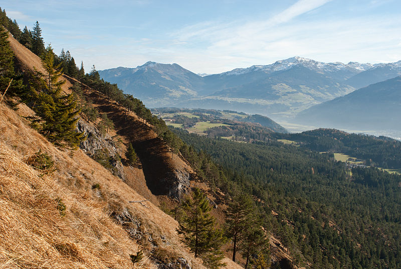
| Description | Blick vom Karwendel, Nähe Fallbach-Wasserfall, auf Gnadenwalder Plateau, Kellerjoch und Gilfert |
| Date | |
| Source | Own work |
| Author | Hermann Hammer (User:Haneburger) |
| Permission (Reusing this file) |
English: You are free to use the picture, if you want, mention "Hermann Hammer" as author Deutsch: Freie Verwendung, als Autor kann man "Hermann Hammer" angeben |
| Camera location | | View this and other nearby images on: OpenStreetMap |
|---|
I, the copyright holder of this work, hereby publish it under the following license:
| This file is made available under the Creative Commons CC0 1.0 Universal Public Domain Dedication. | |
| The person who associated a work with this deed has dedicated the work to the public domain by waiving all of their rights to the work worldwide under copyright law, including all related and neighboring rights, to the extent allowed by law. You can copy, modify, distribute and perform the work, even for commercial purposes, all without asking permission.
|
| Annotations | This image is annotated: View the annotations at Commons |
File history
Click on a date/time to view the file as it appeared at that time.
| Date/Time | Thumbnail | Dimensions | User | Comment | |
|---|---|---|---|---|---|
| current | 04:28, 25 November 2012 | | 3,802 × 2,545 (7.12 MB) | Haneburger (talk | contribs) | {{Information |Description=Blick vom Karwendel, Nähe Fallbach-Wasserfall, auf Gnadenwalder Plateau, Kellerjoch und Gilfert |Source={{own}} |Date=2012-11-24 |Author=Hermann Hammer (User:Haneburger) |Permission= {{en|1=You are free to use the p... |
You cannot overwrite this file.
File usage on Commons
There are no pages that use this file.