File:Grafenort railway station.jpg

Size of this preview: 800 × 450 pixels. Other resolutions: 320 × 180 pixels | 640 × 360 pixels | 1,024 × 576 pixels | 1,280 × 720 pixels | 1,920 × 1,080 pixels.
Original file (1,920 × 1,080 pixels, file size: 363 KB, MIME type: image/jpeg)
Captions
Captions
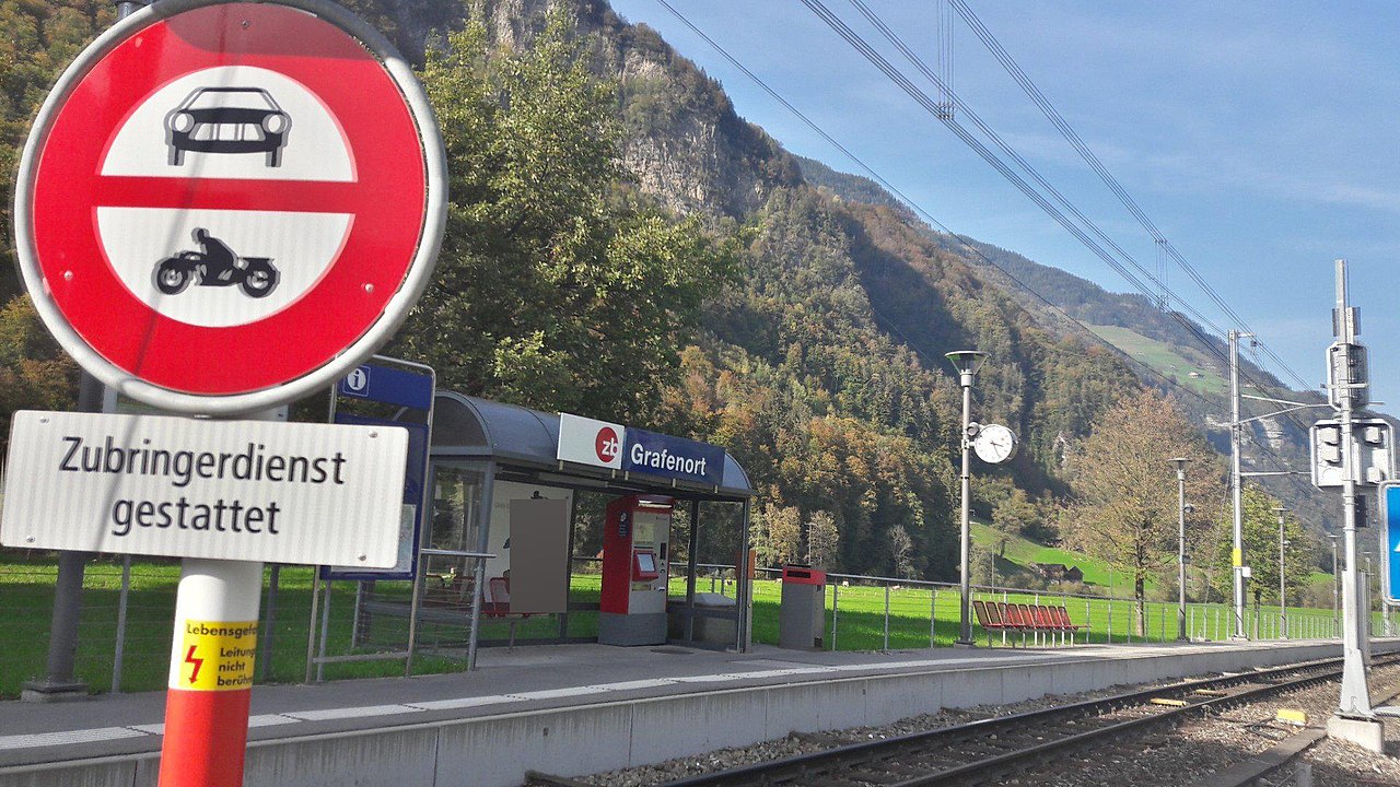
Grafenort railway station
Summary edit
| Description | |
| Date | |
| Source | https://map.railway-stations.org/station.php?countryCode=ch&stationId=8508396 |
| Author | Georg Gmür |
| Object location | | View this and other nearby images on: OpenStreetMap |
|---|
Licensing edit
| This file is made available under the Creative Commons CC0 1.0 Universal Public Domain Dedication. | |
| The person who associated a work with this deed has dedicated the work to the public domain by waiving all of their rights to the work worldwide under copyright law, including all related and neighboring rights, to the extent allowed by law. You can copy, modify, distribute and perform the work, even for commercial purposes, all without asking permission.
|
File history
Click on a date/time to view the file as it appeared at that time.
| Date/Time | Thumbnail | Dimensions | User | Comment | |
|---|---|---|---|---|---|
| current | 21:01, 21 June 2020 | | 1,920 × 1,080 (363 KB) | Mackensen (talk | contribs) | Uploaded a work by Georg Gmür from https://map.railway-stations.org/station.php?countryCode=ch&stationId=8508396 with UploadWizard |
You cannot overwrite this file.
File usage on Commons
The following page uses this file:
File usage on other wikis
The following other wikis use this file:
- Usage on de.wikipedia.org
- Usage on en.wikipedia.org
- Usage on eo.wikipedia.org
- Usage on lmo.wikipedia.org
- Usage on www.wikidata.org