File:Grayling Army Airfield.jpg
Size of this preview: 800 × 501 pixels. Other resolutions: 320 × 200 pixels | 640 × 401 pixels | 984 × 616 pixels.
Original file (984 × 616 pixels, file size: 228 KB, MIME type: image/jpeg)
Captions
Captions
Add a one-line explanation of what this file represents
Summary edit
| Description |
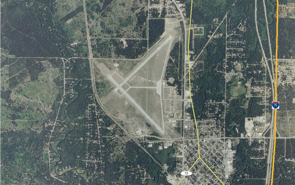
English: Grayling Army Airfield in Michigan.
Image from the MARPLOT program, released by the EPA/NOAA. Uses public domain US Government maps (NASA or USGS).. |
| Date | |
| Source | MARPLOT program |
| Author | self-made by the uploader |
Licensing edit
This image is in the public domain because it contains materials that originally came from the U.S. National Oceanic and Atmospheric Administration, taken or made as part of an employee's official duties.
|
File history
Click on a date/time to view the file as it appeared at that time.
| Date/Time | Thumbnail | Dimensions | User | Comment | |
|---|---|---|---|---|---|
| current | 02:44, 27 May 2013 | | 984 × 616 (228 KB) | Oaktree b (talk | contribs) | User created page with UploadWizard |
You cannot overwrite this file.
File usage on Commons
The following page uses this file:
File usage on other wikis
The following other wikis use this file:
- Usage on en.wikipedia.org
- Usage on ur.wikipedia.org
- Usage on www.wikidata.org