File:Gruenau im Almtal St Jakobus innen 20111022.jpg

Size of this preview: 800 × 533 pixels. Other resolutions: 320 × 213 pixels | 640 × 427 pixels | 1,024 × 683 pixels | 1,280 × 853 pixels | 2,560 × 1,707 pixels | 3,600 × 2,400 pixels.
Original file (3,600 × 2,400 pixels, file size: 2.81 MB, MIME type: image/jpeg)
Captions
Captions
Add a one-line explanation of what this file represents
Summary edit
| Camera location | | View this and other nearby images on: OpenStreetMap |
|---|
| Description |
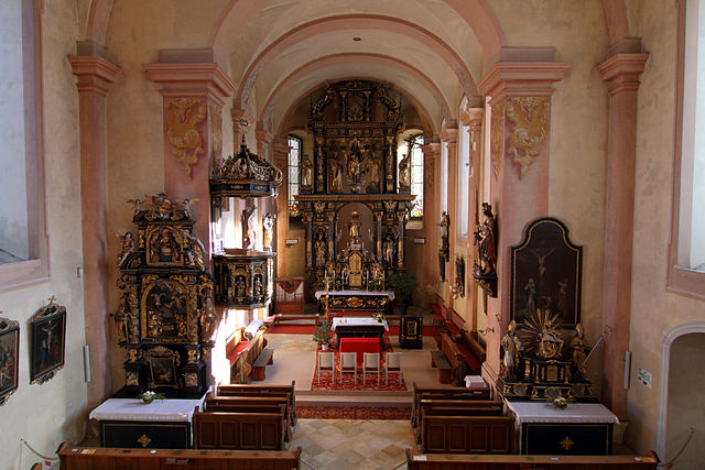
Deutsch: Pfarrkirche hl. Jakobus der Ältere in Grünau im Almtal, Innenraum.
English: Saint James the Greater church in Grünau im Almtal from inside. |
| Date | |
| Source | Own work |
| Author | Herbert Ortner |
Licensing edit
I, the copyright holder of this work, hereby publish it under the following license:
| This file is made available under the Creative Commons CC0 1.0 Universal Public Domain Dedication. | |
| The person who associated a work with this deed has dedicated the work to the public domain by waiving all of their rights to the work worldwide under copyright law, including all related and neighboring rights, to the extent allowed by law. You can copy, modify, distribute and perform the work, even for commercial purposes, all without asking permission.
|
File history
Click on a date/time to view the file as it appeared at that time.
| Date/Time | Thumbnail | Dimensions | User | Comment | |
|---|---|---|---|---|---|
| current | 20:00, 2 July 2012 | | 3,600 × 2,400 (2.81 MB) | Herbert Ortner (talk | contribs) |
You cannot overwrite this file.
File usage on Commons
There are no pages that use this file.
File usage on other wikis
The following other wikis use this file:
- Usage on cs.wikipedia.org
- Usage on de.wikipedia.org
- Usage on hu.wikipedia.org