File:Guicciardini Map of Mechelen.png

Size of this preview: 763 × 600 pixels. Other resolutions: 306 × 240 pixels | 611 × 480 pixels | 977 × 768 pixels | 1,280 × 1,006 pixels | 1,947 × 1,530 pixels.
Original file (1,947 × 1,530 pixels, file size: 4.75 MB, MIME type: image/png)
Captions
Captions
[Descrittione di Malines]
Summary edit
| Description |
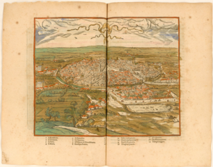
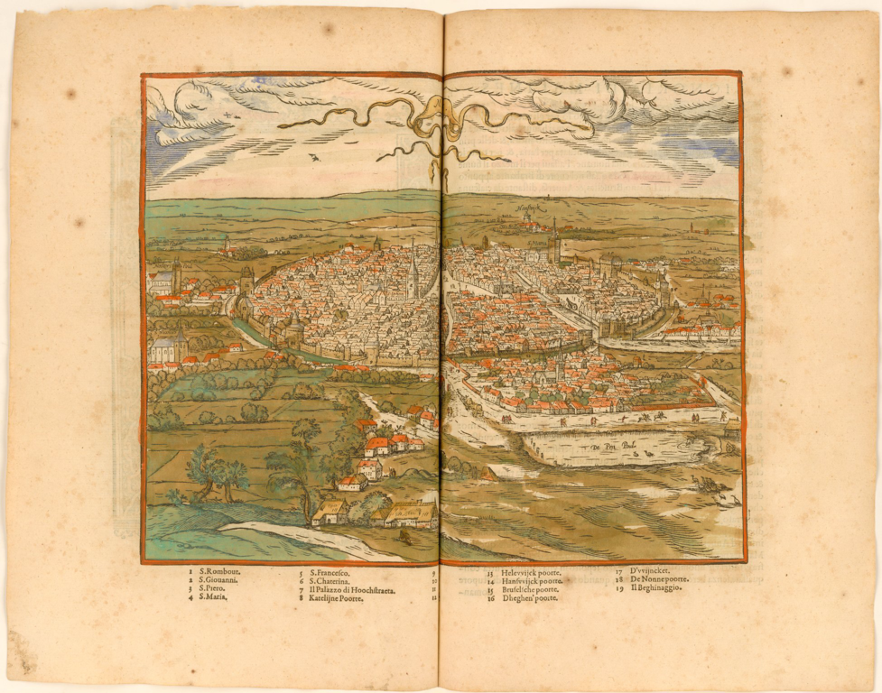
English: Engraved and colored plan of the city of Mechelen, Belgium. Includes city walls, farms outside the walls, men and traffic on a highway, a duck or goose pond and boats. Text in Italian. Published in Antwerp. |
| Date | |
| Source | Descrittione di m. Lodouico Guicciardini patritio fiorentino, di tutti i Paesi Bassi, altrimenti detti Germania inferiore. Con piu carte de geographia del paese, & col ritratto naturale di piu terre principali. Con amplissimo indice di tutte le cose piu memorabili |
| Author | Lodovico Guicciardini |
Licensing edit
This file is licensed under the Creative Commons Attribution-Share Alike 4.0 International license.
- You are free:
- to share – to copy, distribute and transmit the work
- to remix – to adapt the work
- Under the following conditions:
- attribution – You must give appropriate credit, provide a link to the license, and indicate if changes were made. You may do so in any reasonable manner, but not in any way that suggests the licensor endorses you or your use.
- share alike – If you remix, transform, or build upon the material, you must distribute your contributions under the same or compatible license as the original.
File history
Click on a date/time to view the file as it appeared at that time.
| Date/Time | Thumbnail | Dimensions | User | Comment | |
|---|---|---|---|---|---|
| current | 20:58, 9 September 2019 | | 1,947 × 1,530 (4.75 MB) | Gpcantu (talk | contribs) | User created page with UploadWizard |
You cannot overwrite this file.
File usage on Commons
There are no pages that use this file.
File usage on other wikis
The following other wikis use this file:
- Usage on en.wikipedia.org
- Usage on tr.wikipedia.org