File:Gunzesrieder Tal Eingang GO-2.jpg

Size of this preview: 800 × 600 pixels. Other resolutions: 320 × 240 pixels | 640 × 480 pixels | 1,024 × 768 pixels | 1,280 × 960 pixels | 2,592 × 1,944 pixels.
Original file (2,592 × 1,944 pixels, file size: 1.16 MB, MIME type: image/jpeg)
Captions
Captions
Add a one-line explanation of what this file represents
Summary edit
| Description |
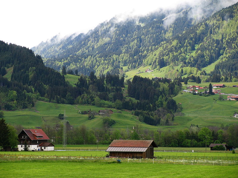
Deutsch: Eingang zum Gunzesrieder Tal von Sonthofen-Winkel aus gesehen; rechts am Bildrand die Ortschaft Halden. Gebiet im Naturpark Nagelfluhkette. |
| Date | |
| Source | Self-photographed |
| Author | Gras-Ober |
Licensing edit
This file is licensed under the Creative Commons Attribution-Share Alike 3.0 Unported license.
Attribution: Gras-Ober, Wikipedia/Wikimedia Commons (cc-by-sa-3.0)
- You are free:
- to share – to copy, distribute and transmit the work
- to remix – to adapt the work
- Under the following conditions:
- attribution – You must give appropriate credit, provide a link to the license, and indicate if changes were made. You may do so in any reasonable manner, but not in any way that suggests the licensor endorses you or your use.
- share alike – If you remix, transform, or build upon the material, you must distribute your contributions under the same or compatible license as the original.
This image was uploaded as part of Wiki Loves Earth 2014.
|
File history
Click on a date/time to view the file as it appeared at that time.
| Date/Time | Thumbnail | Dimensions | User | Comment | |
|---|---|---|---|---|---|
| current | 08:55, 29 May 2014 | | 2,592 × 1,944 (1.16 MB) | Gras-Ober (talk | contribs) | =={{int:filedesc}}== {{Information |Description = {{de|Eingang zum Gunzesrieder Tal von Sonthofen-Winkel aus gesehen; rechts am Bildrand die Ortschaft Halden.}} |Source = {{self-photographed}} |Date = 2014-05-13 |Author = [[User:Gras-O... |
You cannot overwrite this file.
File usage on Commons
The following 3 pages use this file:
File usage on other wikis
The following other wikis use this file:
- Usage on en.wikipedia.org
- Usage on www.wikidata.org