File:Hac Sa Beach 06-05-2023(2).jpg
Size of this preview: 800 × 600 pixels. Other resolutions: 320 × 240 pixels | 640 × 480 pixels | 1,024 × 768 pixels | 1,280 × 960 pixels | 2,560 × 1,920 pixels | 4,032 × 3,024 pixels.
Original file (4,032 × 3,024 pixels, file size: 3.82 MB, MIME type: image/jpeg)
Captions
Captions
Add a one-line explanation of what this file represents
Summary edit
.jpg&action=edit§ion=1)
| Description |
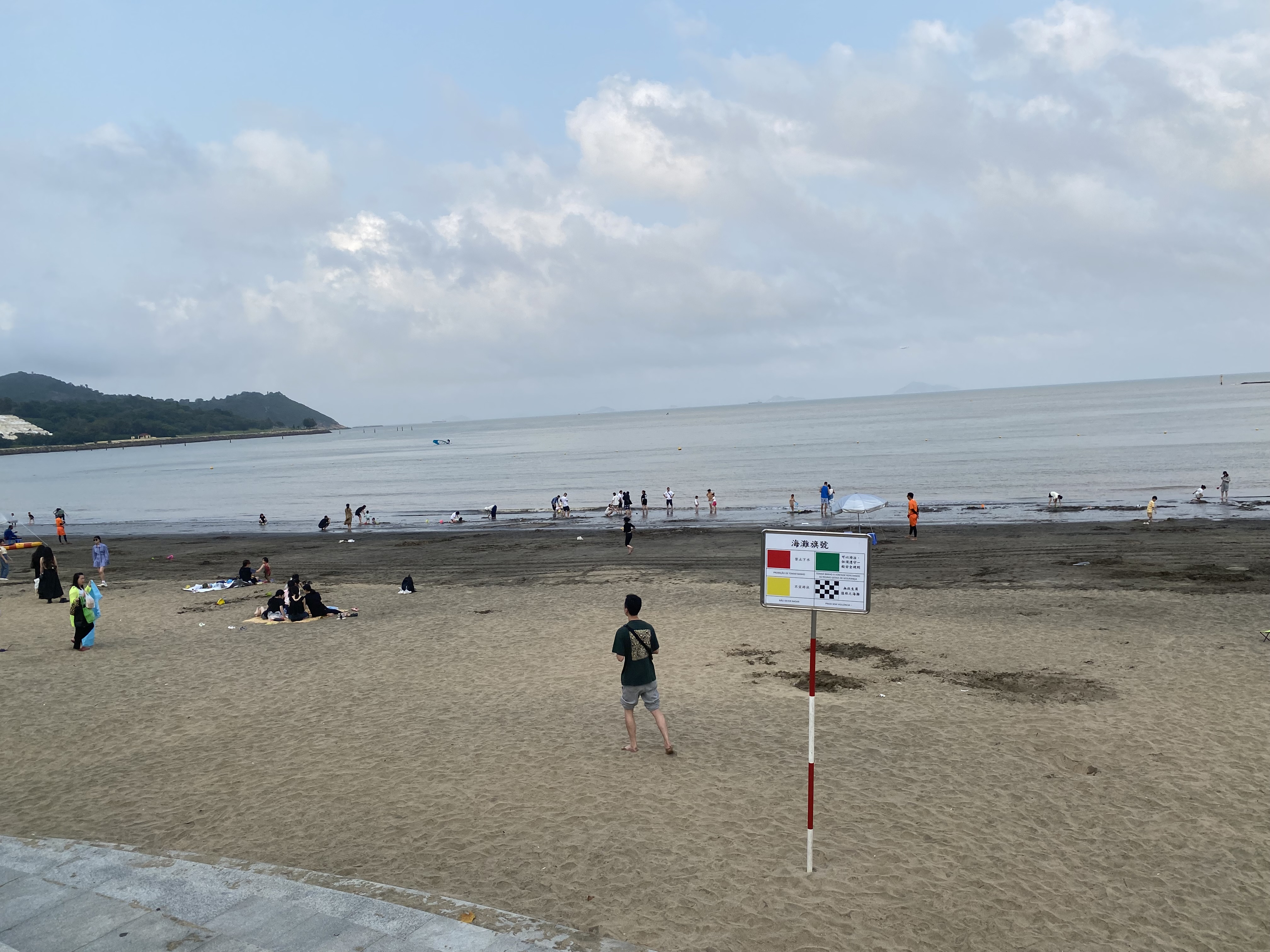
中文:这张照片是在黑沙滩上拍摄的。 中文(简体):这张照片是在黑沙滩上拍摄的。 中文(中国大陆):这张照片是在黑沙滩上拍摄的。 中文(马来西亚):这张照片是在黑沙滩上拍摄的。 中文(新加坡):这张照片是在黑沙滩上拍摄的。 中文(繁體):這張照片在黑沙海灘拍攝。 中文(香港):這張照片在黑沙海灘拍攝。 中文(澳門):這張照片在黑沙海灘拍攝。 中文(臺灣):這張照片在黑沙海灘拍攝。 Čeština: Tato fotografie byla pořízena na pláži s černým pískem. Dansk: Dette billede blev taget på den sorte sandstrand. Deutsch: Dieses Foto wurde am schwarzen Sandstrand aufgenommen. English: This photo was taken at the black sand beach. Español: Esta foto fue tomada en la playa de arena negra. Suomi: Tämä kuva on otettu mustalla hiekkarannalla. Français : Cette photo a été prise sur la plage de sable noir. Magyar: Ez a fénykép a fekete homokos strandon készült. Hrvatski: Ova fotografija je snimljena na crnoj pješčanoj plaži. Italiano: Questa foto è stata scattata sulla spiaggia di sabbia nera. Nederlands: Deze foto is gemaakt op het zwarte zandstrand. Polski: To zdjęcie zostało zrobione na czarnej piaszczystej plaży. Português: Esta foto foi tirada na praia de areia preta. Română: Această fotografie a fost făcută pe plaja cu nisip negru. Slovenčina: Táto fotografia bola zhotovená na pláži s čiernym pieskom. Slovenščina: Ta fotografija je bila posneta na črni peščeni plaži. Svenska: Detta foto togs på den svarta sandstranden. 日本語: この写真は黒い砂浜で撮ったものです。 한국어: 이 사진은 검은 모래 해변에서 찍은 사진입니다. Български: Тази снимка е направена на плажа с черен пясък. Македонски: Оваа фотографија е направена на плажа со црн песок. Русский: Эта фотография была сделана на пляже с черным песком. Українська: Ця фотографія була зроблена на пляжі з чорним піском. Bahasa Indonesia: Foto ini diambil di pantai pasir hitam. ไทย: ภาพนี้ถ่ายที่หาดทรายสีดำ Tiếng Việt: Bức ảnh này được chụp tại bãi biển cát đen. العربية: تم التقاط هذه الصورة على الشاطئ الرملي الأسود. فارسی: این عکس در ساحل ماسه سیاه گرفته شده است. |
| Date | |
| Source | Own work |
| Author | LN9267 |
| Camera location | | View this and other nearby images on: OpenStreetMap |
|---|
.jpg¶ms=022.118789_N_0113.569794_E_globe:Earth_type:camera_heading:82.36&language=en)
Licensing edit
.jpg&action=edit§ion=2)
I, the copyright holder of this work, hereby publish it under the following license:
This file is licensed under the Creative Commons Attribution-Share Alike 4.0 International license.
- You are free:
- to share – to copy, distribute and transmit the work
- to remix – to adapt the work
- Under the following conditions:
- attribution – You must give appropriate credit, provide a link to the license, and indicate if changes were made. You may do so in any reasonable manner, but not in any way that suggests the licensor endorses you or your use.
- share alike – If you remix, transform, or build upon the material, you must distribute your contributions under the same or compatible license as the original.
File history
Click on a date/time to view the file as it appeared at that time.
| Date/Time | Thumbnail | Dimensions | User | Comment | |
|---|---|---|---|---|---|
| current | 15:09, 6 May 2023 | | 4,032 × 3,024 (3.82 MB) | LN9267 (talk | contribs) | Uploaded own work with UploadWizard |
You cannot overwrite this file.
File usage on Commons
There are no pages that use this file.
.jpg&oldid=766876007)