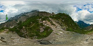
File:Haindlkarhütte viewpoint panosphere 20200622.jpg

Size of this preview: 800 × 400 pixels. Other resolutions: 320 × 160 pixels | 640 × 320 pixels | 1,024 × 512 pixels | 1,280 × 640 pixels | 2,560 × 1,280 pixels | 12,704 × 6,352 pixels.
Original file (12,704 × 6,352 pixels, file size: 74.92 MB, MIME type: image/jpeg)
Captions
Captions
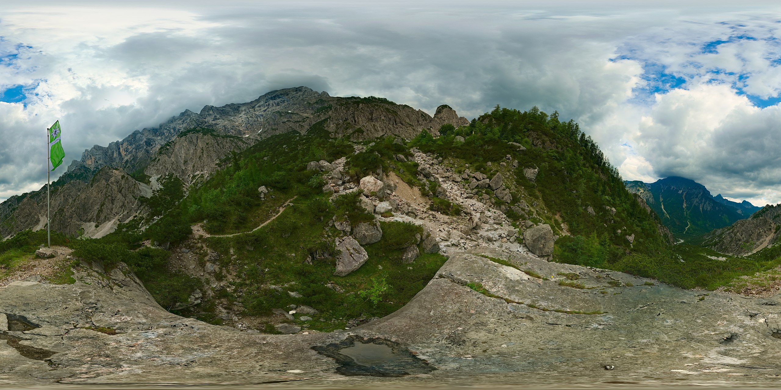
Spherical panorama at a viewpoint near Haindlkarhütte
Summary
edit| Warning | The original file is very high-resolution. It might not load properly or could cause your browser to freeze when opened at full size. |
|---|
| Description |
English: Spherical panoramic from a boulder and viewpoint close to Haindlkarhütte in Gesäuse, Austria. The hut itself is visible a bit further up, together with the mountains around Hochtor. This picture is fused from two exposure layers with 17 frames each, so consists of a total of 34 individual exposures. |
| Date | |
| Source | Own work |
| Author | Daniel Kraft |
| Other versions |
|

| Camera location | | View this and other nearby images on: OpenStreetMap |
|---|
| 360° | View in 360° panoramic viewer
|
|---|

|
NOTE: This image is a panorama consisting of 34 frames that were merged or stitched in Hugin. As a result, this image necessarily underwent some form of digital manipulation. These manipulations may include blending, blurring, cloning, and colour and perspective adjustments. As a result of these adjustments, the image content may be slightly different from reality at the points where multiple images were combined. This manipulation is often required due to lens, perspective, and parallax distortions.
|
This image was created with Hugin.
Licensing
edit
I, the copyright holder of this work, hereby publish it under the following license:
This file is licensed under the Creative Commons Attribution-Share Alike 3.0 Unported license.
- You are free:
- to share – to copy, distribute and transmit the work
- to remix – to adapt the work
- Under the following conditions:
- attribution – You must give appropriate credit, provide a link to the license, and indicate if changes were made. You may do so in any reasonable manner, but not in any way that suggests the licensor endorses you or your use.
- share alike – If you remix, transform, or build upon the material, you must distribute your contributions under the same or compatible license as the original.
| Annotations | This image is annotated: View the annotations at Commons |
This image has been assessed using the Quality image guidelines and is considered a Quality image.
|
File history
Click on a date/time to view the file as it appeared at that time.
| Date/Time | Thumbnail | Dimensions | User | Comment | |
|---|---|---|---|---|---|
| current | 16:28, 5 July 2020 | | 12,704 × 6,352 (74.92 MB) | Domob (talk | contribs) | Uploaded own work with UploadWizard |
You cannot overwrite this file.
File usage on Commons
The following 6 pages use this file:
- User:Adeletron 3030/botgalleries/Sports/2020 July 5-7
- Commons:Featured picture candidates/File:Haindlkarhütte viewpoint panosphere 20200622.jpg
- Commons:Featured picture candidates/Log/October 2020
- Commons:Quality images/Subject/Places/Mixed/Panorama/Archive 2020-2021
- Commons:Quality images candidates/Archives July 18 2020
- File:Haindlkar trail panosphere 20200622.jpg