File:Haitian map of Ayiti (Quisqueya).jpg
No higher resolution available.
Haitian_map_of_Ayiti_(Quisqueya).jpg (640 × 419 pixels, file size: 54 KB, MIME type: image/jpeg)
Captions
Captions
Add a one-line explanation of what this file represents
Summary edit
.jpg&action=edit§ion=1)
| Description |
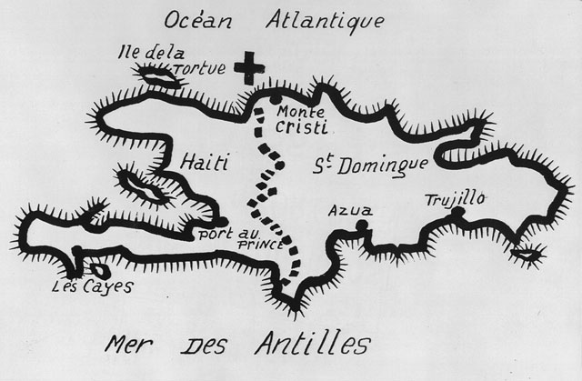
English: Haitian-drawn map of the island of Ayiti / Quisqueya |
| Date | |
| Source | Red and Black in Haiti: Radicalism, Conflict, and Political Change, 1934-1957 |
| Author | Unknown author |
Licensing edit
.jpg&action=edit§ion=2)
This work was first published in Haiti and is now in the public domain because its copyright protection has expired by virtue of the Decree on Copyrights of October 12, 2005 (details). The work meets one of the following criteria:
|
 |
File history
Click on a date/time to view the file as it appeared at that time.
| Date/Time | Thumbnail | Dimensions | User | Comment | |
|---|---|---|---|---|---|
| current | 04:09, 7 February 2021 | | 640 × 419 (54 KB) | DoSazunielle (talk | contribs) | Uploaded a work by unknown from Red and Black in Haiti: Radicalism, Conflict, and Political Change, 1934-1957 with UploadWizard |
You cannot overwrite this file.
File usage on Commons
There are no pages that use this file.
.jpg&oldid=531076054)