File:Hanging bridge near Lahij.jpg

Size of this preview: 800 × 449 pixels. Other resolutions: 320 × 180 pixels | 640 × 359 pixels | 1,024 × 575 pixels | 1,280 × 718 pixels | 3,264 × 1,832 pixels.
Original file (3,264 × 1,832 pixels, file size: 1.28 MB, MIME type: image/jpeg)
Captions
Captions
Add a one-line explanation of what this file represents
| Description |
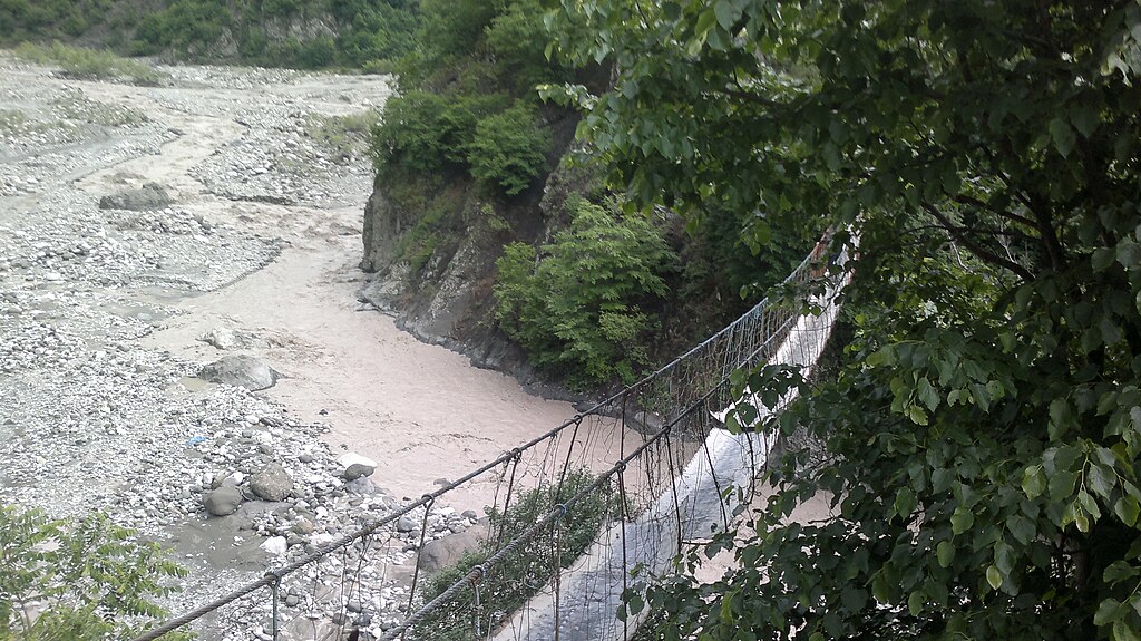
English: Hanging bridge near Lahij |
| Date | |
| Source | Own work |
| Author | Interfase |
| Camera location | | View this and other nearby images on: OpenStreetMap |
|---|
| I, the copyright holder of this work, release this work into the public domain. This applies worldwide. In some countries this may not be legally possible; if so: I grant anyone the right to use this work for any purpose, without any conditions, unless such conditions are required by law. |
File history
Click on a date/time to view the file as it appeared at that time.
| Date/Time | Thumbnail | Dimensions | User | Comment | |
|---|---|---|---|---|---|
| current | 08:30, 5 June 2013 | | 3,264 × 1,832 (1.28 MB) | Interfase (talk | contribs) | {{Information |Description ={{en|1=Hanging bridge near Lahij}} |Source ={{own work}} |Author =Interfase |Date =2013-05-30 |Permission = |other_versions = }} {{PD-self}} Category:Rivers of Azerbaijan [[Category:Lahı... |
You cannot overwrite this file.
File usage on Commons
There are no pages that use this file.