File:Harasiuki - Cmentarz wojenny 2.jpg
Size of this preview: 800 × 589 pixels. Other resolutions: 320 × 236 pixels | 640 × 471 pixels | 1,024 × 754 pixels | 1,280 × 943 pixels | 2,560 × 1,885 pixels | 3,596 × 2,648 pixels.
Original file (3,596 × 2,648 pixels, file size: 4.25 MB, MIME type: image/jpeg)
File information
Structured data
Captions
Summary
editDescriptionHarasiuki - Cmentarz wojenny 2.jpg |
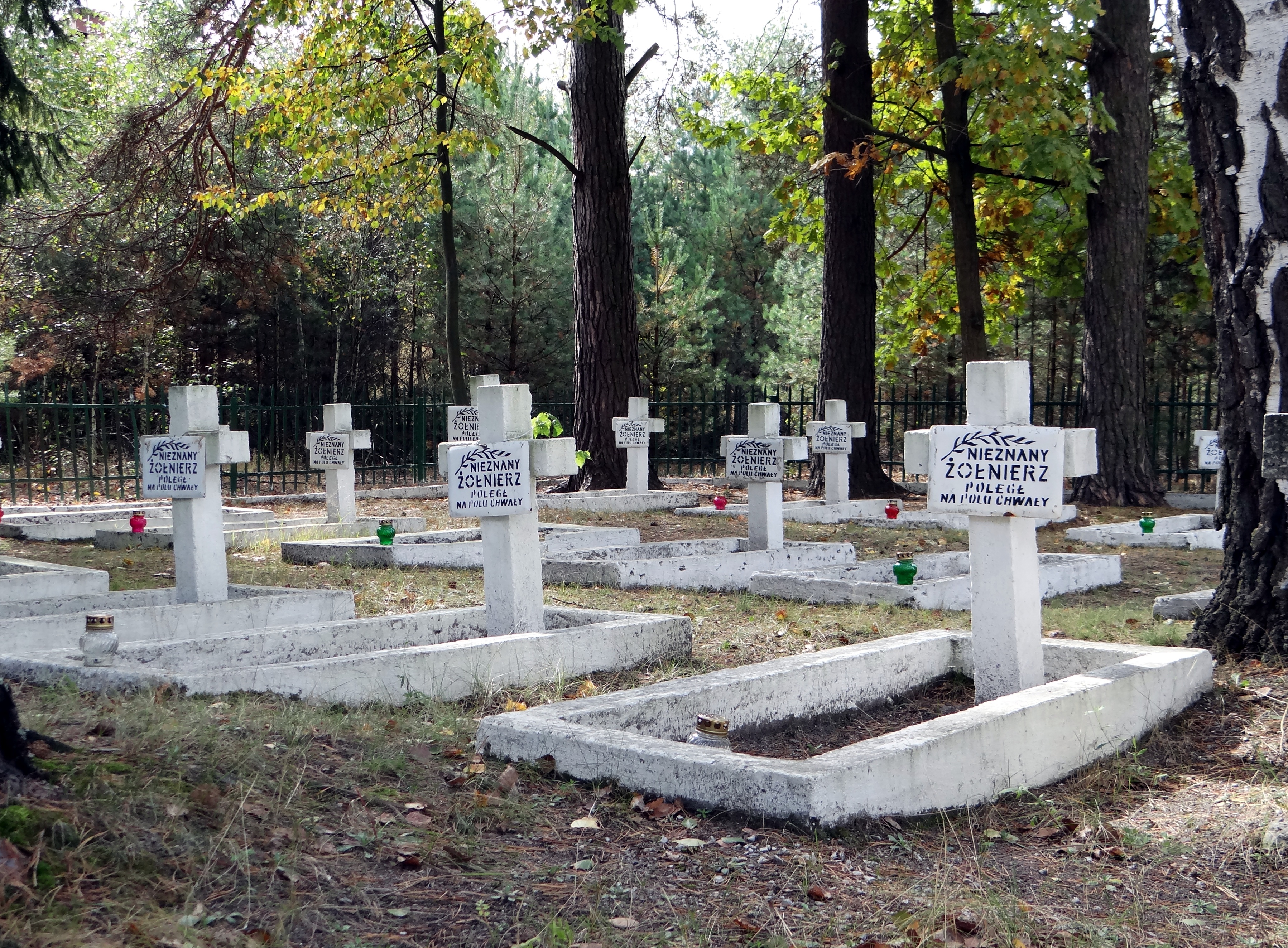
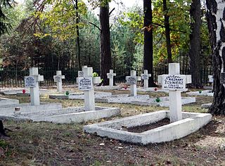
Polski: Cmentarz wojenny z I i II wojny światowej w Harasiukach, wojewódzwtwie podkarpackim
English: I and II World War cemetery in Harasiuki, subcarpathian voivodeship |
Date | |
Source | Own work |
Author | Pece |
Camera location | 50° 28′ 21.18″ N, 22° 28′ 20.15″ E | View this and other nearby images on: OpenStreetMap | 50.472551; 22.472263 |
---|
Licensing
editThis file is licensed under the Creative Commons Attribution 3.0 Unported license.
Attribution: Przemysław Czopor
- You are free:
- to share – to copy, distribute and transmit the work
- to remix – to adapt the work
- Under the following conditions:
- attribution – You must give appropriate credit, provide a link to the license, and indicate if changes were made. You may do so in any reasonable manner, but not in any way that suggests the licensor endorses you or your use.
File history
Click on a date/time to view the file as it appeared at that time.
Date/Time | Thumbnail | Dimensions | User | Comment | |
---|---|---|---|---|---|
current | 19:53, 26 September 2013 | 3,596 × 2,648 (4.25 MB) | Pece (talk | contribs) | VicuñaUploader 1.18 |
You cannot overwrite this file.
File usage on Commons
The following page uses this file:
Metadata
This file contains additional information such as Exif metadata which may have been added by the digital camera, scanner, or software program used to create or digitize it. If the file has been modified from its original state, some details such as the timestamp may not fully reflect those of the original file. The timestamp is only as accurate as the clock in the camera, and it may be completely wrong.
Camera manufacturer | SONY |
---|---|
Camera model | DSC-HX200V |
Exposure time | 1/160 sec (0.00625) |
F-number | f/3.5 |
ISO speed rating | 160 |
Date and time of data generation | 12:53, 25 September 2013 |
Lens focal length | 8.01 mm |
Latitude | 50° 28′ 21.18″ N |
Longitude | 22° 28′ 20.15″ E |
Altitude | 168.9 meters above sea level |
Orientation | Normal |
Horizontal resolution | 72 dpi |
Vertical resolution | 72 dpi |
Software used | GIMP 2.6.12 |
File change date and time | 21:22, 26 September 2013 |
Y and C positioning | Co-sited |
Exposure Program | Normal program |
Exif version | 2.3 |
Date and time of digitizing | 12:53, 25 September 2013 |
Meaning of each component |
|
Image compression mode | 4 |
APEX brightness | 6.2125 |
APEX exposure bias | 0 |
Maximum land aperture | 3.6171875 APEX (f/3.5) |
Metering mode | Center weighted average |
Light source | Unknown |
Flash | Flash did not fire, compulsory flash suppression |
Supported Flashpix version | 1 |
Color space | sRGB |
File source | Digital still camera |
Scene type | A directly photographed image |
Custom image processing | Normal process |
Exposure mode | Auto exposure |
White balance | Auto white balance |
Digital zoom ratio | 1 |
Scene capture type | Standard |
Contrast | Hard |
Saturation | Normal |
Sharpness | Hard |
GPS time (atomic clock) | 10:53 |
Receiver status | Measurement in progress |
Measurement mode | 3-dimensional measurement |
Measurement precision | Poor (1.64) |
Speed unit | Kilometers per hour |
Speed of GPS receiver | 2.412 |
Reference for direction of movement | True direction |
Direction of movement | 41.85 |
Reference for direction of image | Magnetic direction |
Direction of image | 276 |
Geodetic survey data used | WGS-84 |
GPS date | 25 September 2013 |
GPS differential correction | 0 |
GPS tag version | 0.0.3.2 |