File:Haut-Barr castle (looking NE).jpg
Size of this preview: 800 × 467 pixels. Other resolutions: 320 × 187 pixels | 640 × 373 pixels | 1,024 × 597 pixels | 1,600 × 933 pixels.
Original file (1,600 × 933 pixels, file size: 475 KB, MIME type: image/jpeg)
Captions
Captions
Add a one-line explanation of what this file represents
Summary edit
.jpg&action=edit§ion=1)
| Description |
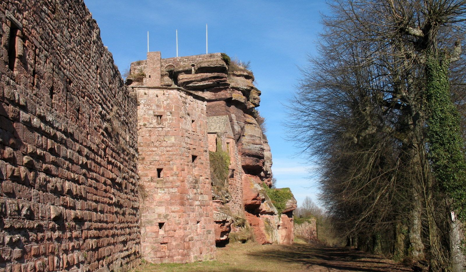
English: Haut-Barr castle (looking NE) |
| Date | |
| Source | panoramio |
| Author | Francois Schnell |
| Camera location | | View this and other nearby images on: OpenStreetMap |
|---|
.jpg¶ms=048.724277_N_0007.338224_E_globe:Earth_type:camera_source:panoramio_&language=en)
Licensing edit
.jpg&action=edit§ion=2)
This file is licensed under the Creative Commons Attribution 3.0 Unported license.
- You are free:
- to share – to copy, distribute and transmit the work
- to remix – to adapt the work
- Under the following conditions:
- attribution – You must give appropriate credit, provide a link to the license, and indicate if changes were made. You may do so in any reasonable manner, but not in any way that suggests the licensor endorses you or your use.
| This image, which was originally posted to Panoramio, was reviewed on 5 February 2012 by the administrator or trusted user Leoboudv, who confirmed that it was available on Panoramio under the above license on that date. |
File history
Click on a date/time to view the file as it appeared at that time.
| Date/Time | Thumbnail | Dimensions | User | Comment | |
|---|---|---|---|---|---|
| current | 19:30, 5 February 2012 | | 1,600 × 933 (475 KB) | Edelseider (talk | contribs) | {{Information |Description={{en|Haut-Barr castle (looking NE)}} |Source=[http://www.panoramio.com/photo/12454622 panoramio] |Date=2008-02-17 13:44 |Author=[http://www.panoramio.com/user/2043446 Francois Schnell] |Permission= |other_versions= }} {{Location |
You cannot overwrite this file.
File usage on Commons
The following 2 pages use this file:
- Patrimoine architectural de Saverne
- File:Haut-Barr 02.jpg (file redirect)
.jpg&oldid=646083255)