File:Haut-Saone banner.jpg
Size of this preview: 798 × 114 pixels. Other resolutions: 320 × 46 pixels | 2,100 × 300 pixels.
Original file (2,100 × 300 pixels, file size: 771 KB, MIME type: image/jpeg)
Captions
Captions
Add a one-line explanation of what this file represents
Summary edit
| Description |
This file was uploaded with Commonist.
|
||||||||||||||||||||||
| Date | (UTC) | ||||||||||||||||||||||
| Source |
This file was derived from: Fort-pano.jpg: |
||||||||||||||||||||||
| Author |
|
||||||||||||||||||||||


| Camera location | | View this and other nearby images on: OpenStreetMap |
|---|
Licensing edit
I, the copyright holder of this work, hereby publish it under the following license:
This file is licensed under the Creative Commons Attribution 3.0 Unported license.
- You are free:
- to share – to copy, distribute and transmit the work
- to remix – to adapt the work
- Under the following conditions:
- attribution – You must give appropriate credit, provide a link to the license, and indicate if changes were made. You may do so in any reasonable manner, but not in any way that suggests the licensor endorses you or your use.
Original upload log edit
This image is a derivative work of the following images:
- File:Fort-pano.jpg licensed with Cc-by-3.0
- 2010-08-06T08:53:29Z ComputerHotline 18295x2511 (44441827 Bytes)
Uploaded with derivativeFX
File history
Click on a date/time to view the file as it appeared at that time.
| Date/Time | Thumbnail | Dimensions | User | Comment | |
|---|---|---|---|---|---|
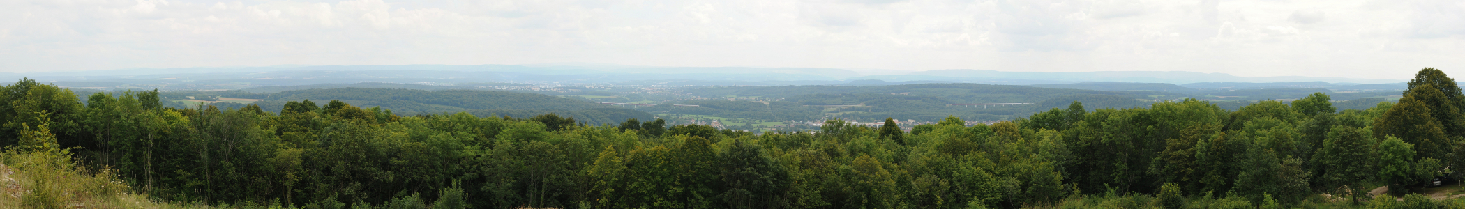
| current | 20:07, 25 August 2013 | 2,100 × 300 (771 KB) | Inkey (talk | contribs) | == {{int:filedesc}} == {{Information |Description={{Commonist}}{{Panorama}} Panorama vu des dessus du fort du Mont Vaudois. |Source={{Derived from|Fort-pano.jpg|display=50}} |Date=2013-08-25 20:03 (UTC) |Author=*File:Fort-pano.jpg: {{User:Compute... |
You cannot overwrite this file.
File usage on Commons
The following page uses this file:
File usage on other wikis
The following other wikis use this file:
- Usage on ceb.wikipedia.org
- Usage on eo.wikipedia.org
- Usage on fr.wikivoyage.org
- Usage on pl.wikivoyage.org
- Usage on www.wikidata.org