File:Havířov location map.png
Original file (1,985 × 1,960 pixels, file size: 4.13 MB, MIME type: image/png)
Captions
Captions
Summary edit
| Description |
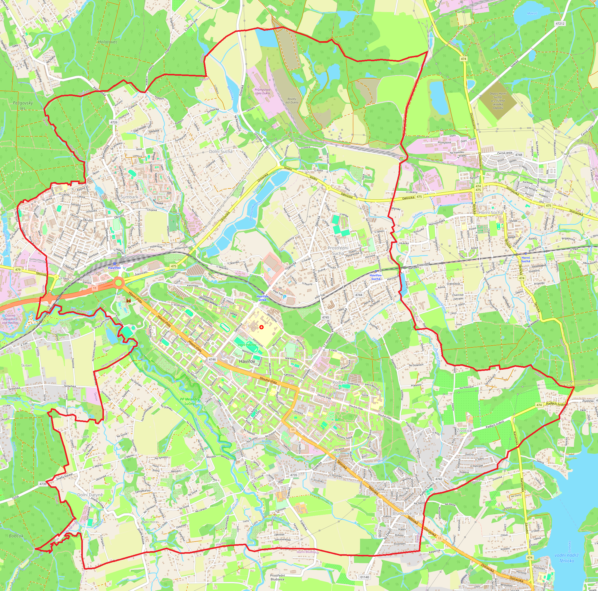
English: Location map |
| Date | |
| Source | Own work |
| Author | Smat |
| Description |
Polski: Mapa Hawierzowa, Czechy
English: Map of Havířov, Czech Republic |
|||||||||
| Date | ||||||||||
| Source | You may find a page on the OpenStreetMap wiki page for Hawierzów | |||||||||
| Creator |
OpenStreetMap contributors OpenStreetMap contributors |
|||||||||
| Permission (Reusing this file) |
OpenStreetMap data is available under the Open Database License (details). Standard style map tiles are licensed as ODbL Produced Works.
|
|||||||||
| Geotemporal data | ||||||||||
| Bounding box |
|
|||||||||
| Georeferencing | If inappropriate please set warp_status = skip to hide. | |||||||||
Licensing edit
| This work contains information from OpenStreetMap, which is made available under the Open Database License (ODbL).
The ODbL does not require any particular license for maps produced from ODbL data. Prior to 1 August 2020, map tiles produced by the OpenStreetMap Foundation were licensed under the CC-BY-SA-2.0 license. Maps produced by other people may be subject to other licences. |
File history
Click on a date/time to view the file as it appeared at that time.
| Date/Time | Thumbnail | Dimensions | User | Comment | |
|---|---|---|---|---|---|
| current | 15:32, 5 December 2023 | | 1,985 × 1,960 (4.13 MB) | Smat (talk | contribs) | Uploaded own work with UploadWizard |
You cannot overwrite this file.
File usage on Commons
There are no pages that use this file.
File usage on other wikis
The following other wikis use this file:
- Usage on pl.wikipedia.org
- Havířov (stacja kolejowa)
- Havířov-Suchá
- Datynie Dolne
- Błędowice
- Sucha Dolna (Hawierzów)
- Sucha Średnia
- Szumbark
- Miasto (Hawierzów)
- Podlesie (Hawierzów)
- Żywocice (Hawierzów)
- Parafia św. Małgorzaty w Hawierzowie-Błędowicach
- Parafia św. Jana Chrzciciela w Suchej Średniej
- Parafia św. Jana Bosko w Szumbarku
- Parafia św. Anny w Hawierzowie
- Pomnik tragedii żywocickiej w Żywocicach
- Havířov střed
- Cmentarz ewangelicki w Żywocicach
- Stadion Dukla
- Dom kultury Radost
- Městská sportovní hala Havířov
- Stadion RC Havířov
- Zamek Szumbark
- Błędowicki kopiec
- Gascontrol Aréna
- Moduł:Mapa/dane/Hawierzów