File:Highway 48 abandoned section near Coboconk.png

Size of this preview: 800 × 600 pixels. Other resolutions: 320 × 240 pixels | 640 × 480 pixels | 1,024 × 768 pixels | 1,280 × 960 pixels | 2,560 × 1,920 pixels | 3,264 × 2,448 pixels.
Original file (3,264 × 2,448 pixels, file size: 11.04 MB, MIME type: image/png)
Captions
Captions
Add a one-line explanation of what this file represents
Summary edit
| Description | \n |
| Date | |
| Source | Transferred from en.wikipedia to Commons. |
| Author | ʄɭoʏɗiaɲ τ ¢ |
Licensing edit
This file is licensed under the Creative Commons Attribution 3.0 Unported license.
- You are free:
- to share – to copy, distribute and transmit the work
- to remix – to adapt the work
- Under the following conditions:
- attribution – You must give appropriate credit, provide a link to the license, and indicate if changes were made. You may do so in any reasonable manner, but not in any way that suggests the licensor endorses you or your use.
I, the copyright holder of this work, hereby publish it under the following license:
Original upload log edit
The original description page was here. All following user names refer to en.wikipedia.
| Date/Time | Dimensions | User | Comment |
|---|---|---|---|
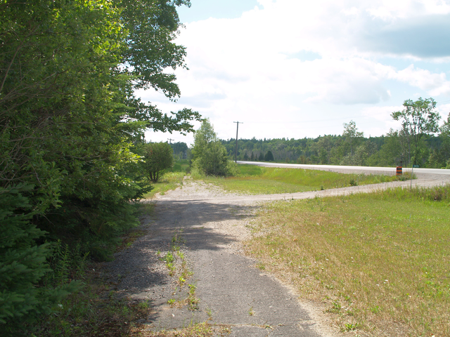
| 2012-07-10 20:25 | 3264×2448× (11573192 bytes) | Floydian | {{Information |Description = A former section of [[Ontario Highway 48]] lies next to the modern route west of [[Coboconk]] |Source = {{own}} |Date = July 9, 2012 |Author = ~~~ |Permission = |other_versions = }} |
File history
Click on a date/time to view the file as it appeared at that time.
| Date/Time | Thumbnail | Dimensions | User | Comment | |
|---|---|---|---|---|---|
| current | 22:08, 20 October 2016 | | 3,264 × 2,448 (11.04 MB) | XXN (talk | contribs) | Transferred from en.wikipedia |
You cannot overwrite this file.
File usage on Commons
The following page uses this file: