File:Historic American Buildings Survey Frederick D. Nichols, Photographer January 1938 VIEW OF PRESENT RANCH HOUSE LOOKING EAST - Pete Kitchen Ranch House, Portrero Creek Vicinity HABS ARIZ,12-NOGAL.V,3-4.tif

Size of this JPG preview of this TIF file: 800 × 510 pixels. Other resolutions: 320 × 204 pixels | 640 × 408 pixels | 1,024 × 652 pixels | 1,280 × 815 pixels | 2,560 × 1,631 pixels | 4,990 × 3,179 pixels.
Original file (4,990 × 3,179 pixels, file size: 15.13 MB, MIME type: image/tiff)
Captions
Captions
Add a one-line explanation of what this file represents
Summary edit
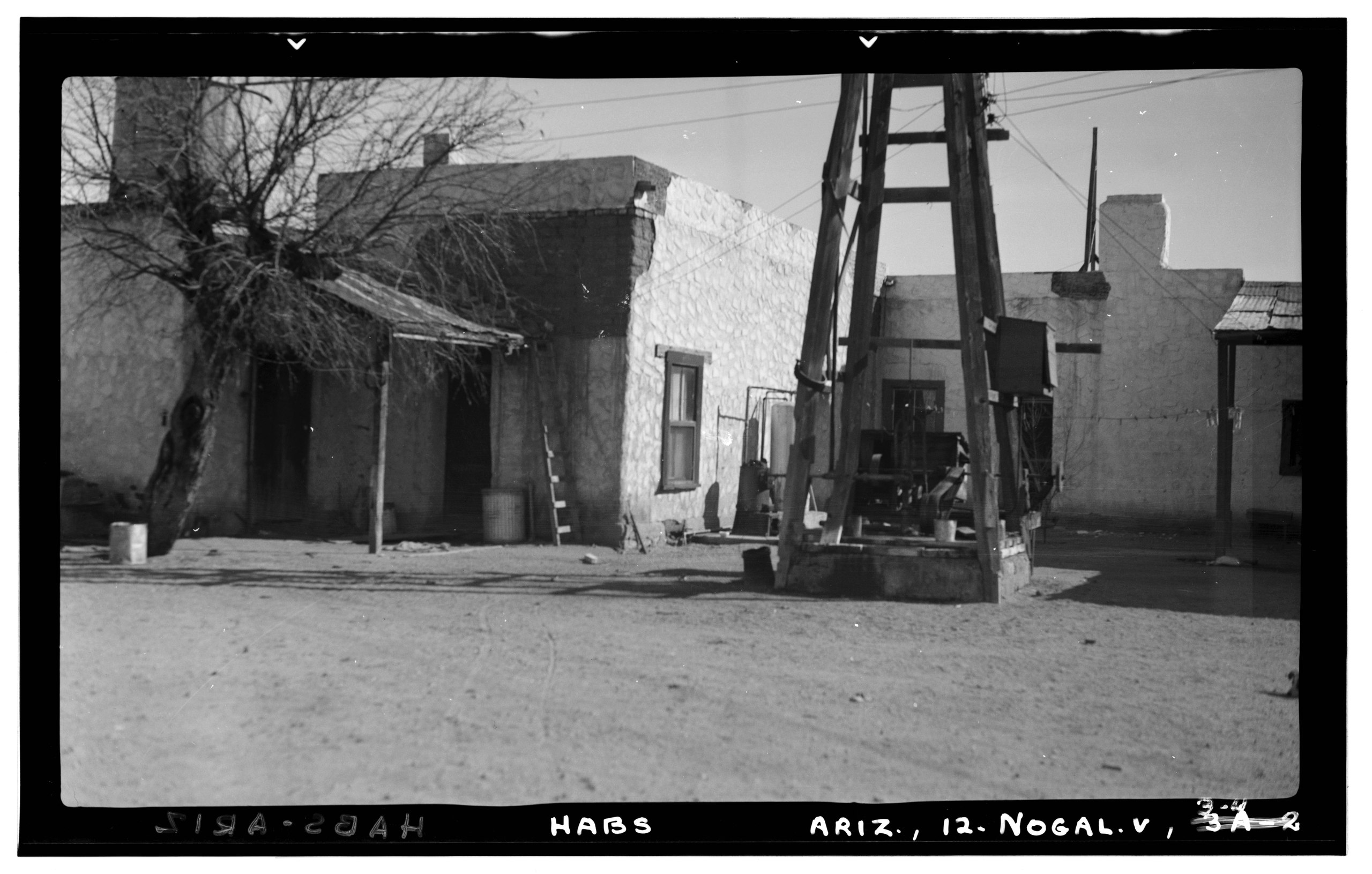
| Historic American Buildings Survey Frederick D. Nichols, Photographer January 1938 VIEW OF PRESENT RANCH HOUSE LOOKING EAST - Pete Kitchen Ranch House, Portrero Creek Vicinity, Nogales, Santa Cruz County, AZ | ||||
|---|---|---|---|---|
| Title |
Historic American Buildings Survey Frederick D. Nichols, Photographer January 1938 VIEW OF PRESENT RANCH HOUSE LOOKING EAST - Pete Kitchen Ranch House, Portrero Creek Vicinity, Nogales, Santa Cruz County, AZ |
|||
| Depicted place | Arizona; Santa Cruz County; Nogales | |||
| Date | Taken in January 1938 | |||
| Dimensions | 5 x 7 in. | |||
| Current location |
Library of Congress Prints and Photographs Division Washington, D.C. 20540 USA http://hdl.loc.gov/loc.pnp/pp.print |
|||
| Accession number |
HABS ARIZ,12-NOGAL.V,3-4 |
|||
| Credit line |
|
|||
| Source | https://www.loc.gov/pictures/item/az0194.photos.305562p | |||
| Permission (Reusing this file) |
|
|||

| Camera location | | View this and other nearby images on: OpenStreetMap |
|---|
File history
Click on a date/time to view the file as it appeared at that time.
| Date/Time | Thumbnail | Dimensions | User | Comment | |
|---|---|---|---|---|---|
| current | 07:35, 28 June 2014 |  | 4,990 × 3,179 (15.13 MB) | Fæ (talk | contribs) | GWToolset: Creating mediafile for Fæ. HABS batch upload 26 June 2014 (151:200) |
You cannot overwrite this file.
File usage on Commons
The following page uses this file: