File:Hochstadt im Landkreis Lichtenfels.png

Size of this preview: 800 × 589 pixels. Other resolutions: 320 × 236 pixels | 640 × 471 pixels | 1,039 × 765 pixels.
Original file (1,039 × 765 pixels, file size: 15 KB, MIME type: image/png)
Captions
Captions
Add a one-line explanation of what this file represents
Summary edit
| Description | |
| Source | Own work |
| Author | Immanuel Giel |
Licensing edit
| I, the copyright holder of this work, release this work into the public domain. This applies worldwide. In some countries this may not be legally possible; if so: I grant anyone the right to use this work for any purpose, without any conditions, unless such conditions are required by law. |
File history
Click on a date/time to view the file as it appeared at that time.
| Date/Time | Thumbnail | Dimensions | User | Comment | |
|---|---|---|---|---|---|
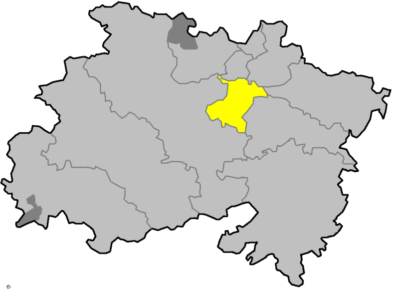
| current | 09:23, 13 March 2006 | | 1,039 × 765 (15 KB) | Immanuel Giel (talk | contribs) | '''Description''': locator map of communities in the district (Landkreis) of Lichtenfels in Bavaria, Germany <br> '''Source''': own work --~~~~<br>'''Other versions''': none {{PD-self}} Category:Maps of Upper Franconia |
You cannot overwrite this file.
File usage on Commons
There are no pages that use this file.