File:Hommachi-dori × Kyomachi-dori sign 20191108-01.jpg
Size of this preview: 399 × 599 pixels. Other resolutions: 160 × 240 pixels | 320 × 480 pixels | 512 × 768 pixels | 682 × 1,024 pixels | 1,365 × 2,048 pixels | 3,265 × 4,898 pixels.
Original file (3,265 × 4,898 pixels, file size: 559 KB, MIME type: image/jpeg)
File information
Structured data
Captions
Summary edit
DescriptionHommachi-dori × Kyomachi-dori sign 20191108-01.jpg |
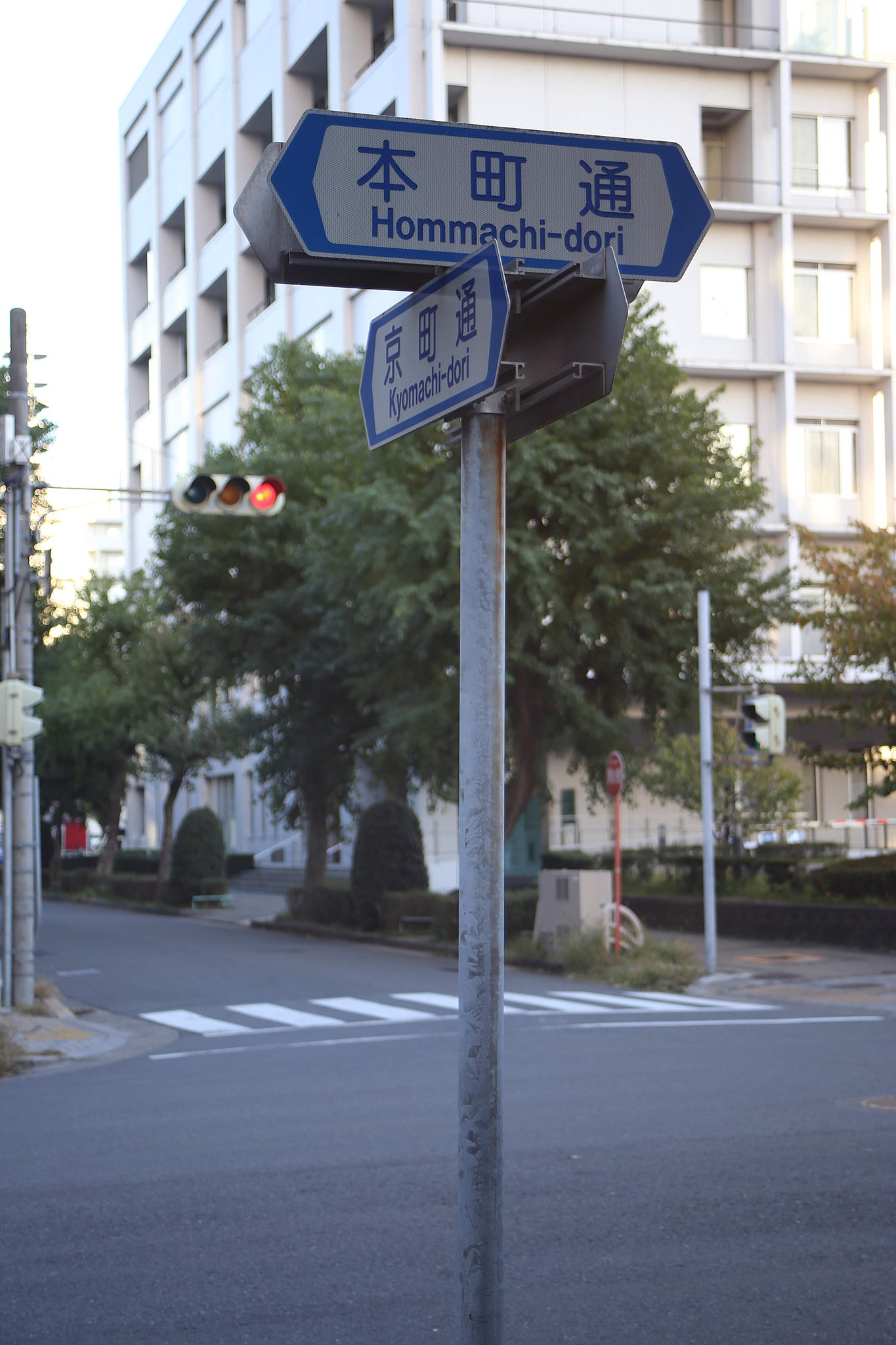
日本語: 名古屋市中区丸の内二丁目 本町通と京町通の交点 |
Date | |
Source | Own work |
Author | 円周率3パーセント |
Camera location | 35° 10′ 34.98″ N, 136° 54′ 02.31″ E | View this and other nearby images on: OpenStreetMap | 35.176383; 136.900642 |
---|
Licensing edit
I, the copyright holder of this work, hereby publish it under the following license:
This file is licensed under the Creative Commons Attribution-Share Alike 4.0 International license.
- You are free:
- to share – to copy, distribute and transmit the work
- to remix – to adapt the work
- Under the following conditions:
- attribution – You must give appropriate credit, provide a link to the license, and indicate if changes were made. You may do so in any reasonable manner, but not in any way that suggests the licensor endorses you or your use.
- share alike – If you remix, transform, or build upon the material, you must distribute your contributions under the same or compatible license as the original.
File history
Click on a date/time to view the file as it appeared at that time.
Date/Time | Thumbnail | Dimensions | User | Comment | |
---|---|---|---|---|---|
current | 16:07, 14 November 2019 | 3,265 × 4,898 (559 KB) | 円周率3パーセント (talk | contribs) | User created page with UploadWizard |
You cannot overwrite this file.
File usage on Commons
There are no pages that use this file.
File usage on other wikis
The following other wikis use this file:
- Usage on ja.wikipedia.org
Metadata
This file contains additional information such as Exif metadata which may have been added by the digital camera, scanner, or software program used to create or digitize it. If the file has been modified from its original state, some details such as the timestamp may not fully reflect those of the original file. The timestamp is only as accurate as the clock in the camera, and it may be completely wrong.
Camera manufacturer | Canon |
---|---|
Camera model | Canon EOS 6D |
Exposure time | 1/60 sec (0.016666666666667) |
F-number | f/5.6 |
ISO speed rating | 200 |
Date and time of data generation | 16:04, 8 November 2019 |
Lens focal length | 65 mm |
Latitude | 35° 10′ 34.98″ N |
Longitude | 136° 54′ 2.31″ E |
Orientation | Rotated 90° CW |
Horizontal resolution | 72 dpi |
Vertical resolution | 72 dpi |
Software used | Picasa |
File change date and time | 16:04, 8 November 2019 |
Subsampling ratio of Y to C |
|
Y and C positioning | Co-sited |
Exposure Program | Normal program |
Exif version | 2.3 |
Date and time of digitizing | 16:04, 8 November 2019 |
Meaning of each component |
|
APEX shutter speed | 6 |
APEX aperture | 5 |
APEX exposure bias | 0 |
Metering mode | Pattern |
Flash | Flash did not fire, compulsory flash suppression |
DateTime subseconds | 81 |
DateTimeOriginal subseconds | 81 |
DateTimeDigitized subseconds | 81 |
Supported Flashpix version | 1 |
Color space | sRGB |
Focal plane X resolution | 3,810.5849582173 |
Focal plane Y resolution | 3,815.89958159 |
Focal plane resolution unit | inches |
Custom image processing | Normal process |
Exposure mode | Auto exposure |
White balance | Auto white balance |
Scene capture type | Standard |
Unique image ID | baa92036995cf05f0000000000000000 |
GPS time (atomic clock) | 07:04:14.001 |
Satellites used for measurement | 12 |
Receiver status | Measurement in progress |
Measurement mode | 2-dimensional measurement |
Measurement precision | Poor (4.3) |
Geodetic survey data used | WGS-84 |
GPS date | 8 November 2019 |
GPS tag version | 0.0.3.2 |
Rating (out of 5) | 0 |