File:Horsing around with the Armagh Rhymers.jpg
Size of this preview: 800 × 600 pixels. Other resolutions: 320 × 240 pixels | 640 × 480 pixels | 1,024 × 768 pixels | 1,280 × 960 pixels | 2,560 × 1,920 pixels | 4,160 × 3,120 pixels.
Original file (4,160 × 3,120 pixels, file size: 2.63 MB, MIME type: image/jpeg)
Captions
Captions
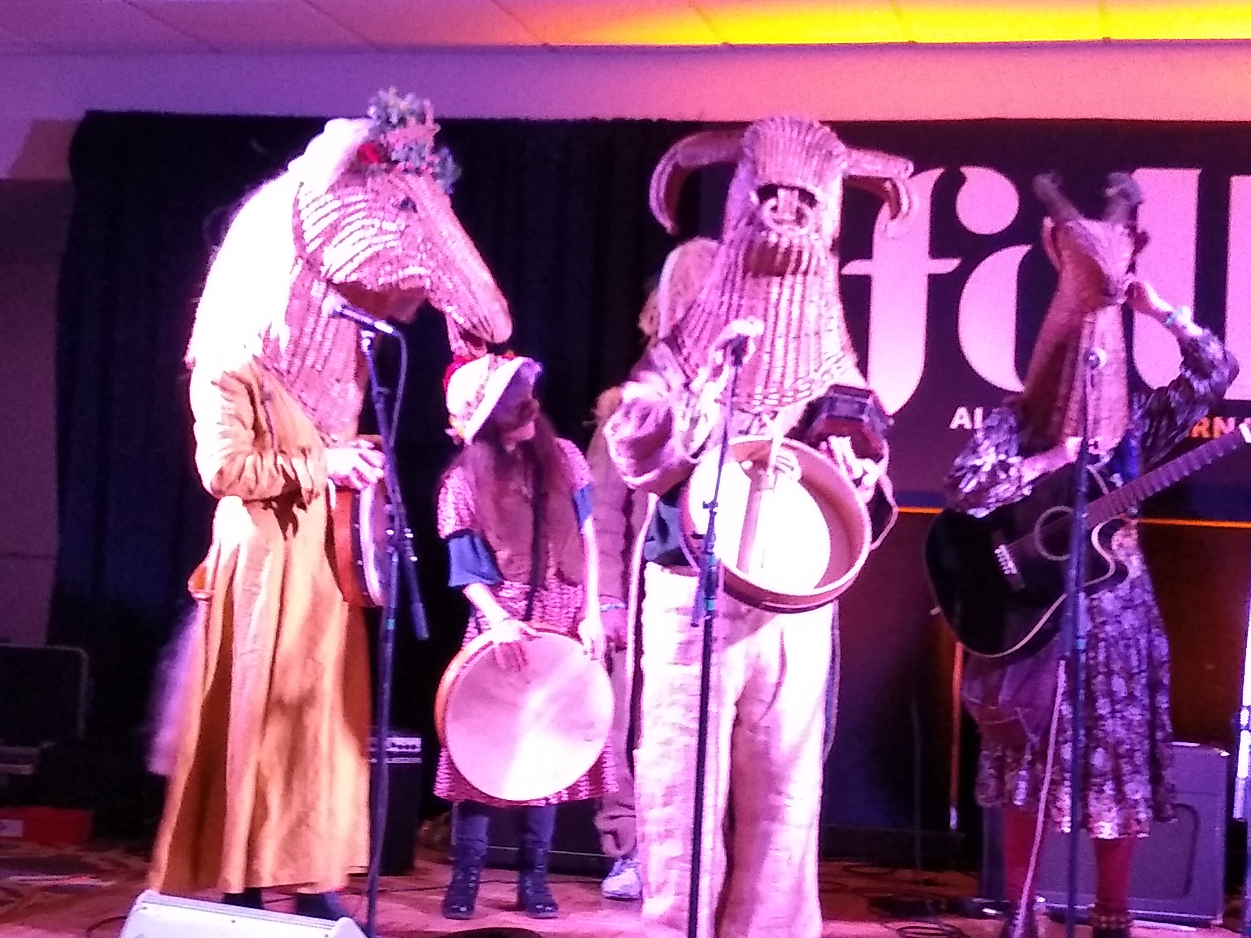
Irish Folk Troupe wearing elaborate masks and playing ceremonial songs.
Summary edit
| Description |
English: the Armagh Rhymers are an Irish folk group that are rescuing long-forgotten masking and music traditions of Irish seasonal ceremonies.
|
||
| Date | |||
| Source | Own work | ||
| Author | MegOBannon |
| Camera location | | View this and other nearby images on: OpenStreetMap |
|---|
Image taken at the Folk Alliance International Conference in New Orleans, LA, USA, January 22-26, 2020
Licensing edit
I, the copyright holder of this work, hereby publish it under the following license:
This file is licensed under the Creative Commons Attribution-Share Alike 4.0 International license.
- You are free:
- to share – to copy, distribute and transmit the work
- to remix – to adapt the work
- Under the following conditions:
- attribution – You must give appropriate credit, provide a link to the license, and indicate if changes were made. You may do so in any reasonable manner, but not in any way that suggests the licensor endorses you or your use.
- share alike – If you remix, transform, or build upon the material, you must distribute your contributions under the same or compatible license as the original.
This image was uploaded as part of Wiki Loves Folklore 2023 photographic contest. Other languages:
日本語 ∙ বাংলা ∙ मराठी ∙ Yorùbá ∙ slovenščina ∙ українська ∙ português do Brasil ∙ Türkçe ∙ македонски ∙ română ∙ +/− |
File history
Click on a date/time to view the file as it appeared at that time.
| Date/Time | Thumbnail | Dimensions | User | Comment | |
|---|---|---|---|---|---|
| current | 21:53, 17 February 2023 | | 4,160 × 3,120 (2.63 MB) | MegOBannon (talk | contribs) | Uploaded own work with UploadWizard |
You cannot overwrite this file.
File usage on Commons
The following page uses this file: