File:Hradec Kralove location map.png
Original file (2,089 × 1,873 pixels, file size: 4.57 MB, MIME type: image/png)
Captions
Captions
Summary edit
| Description |
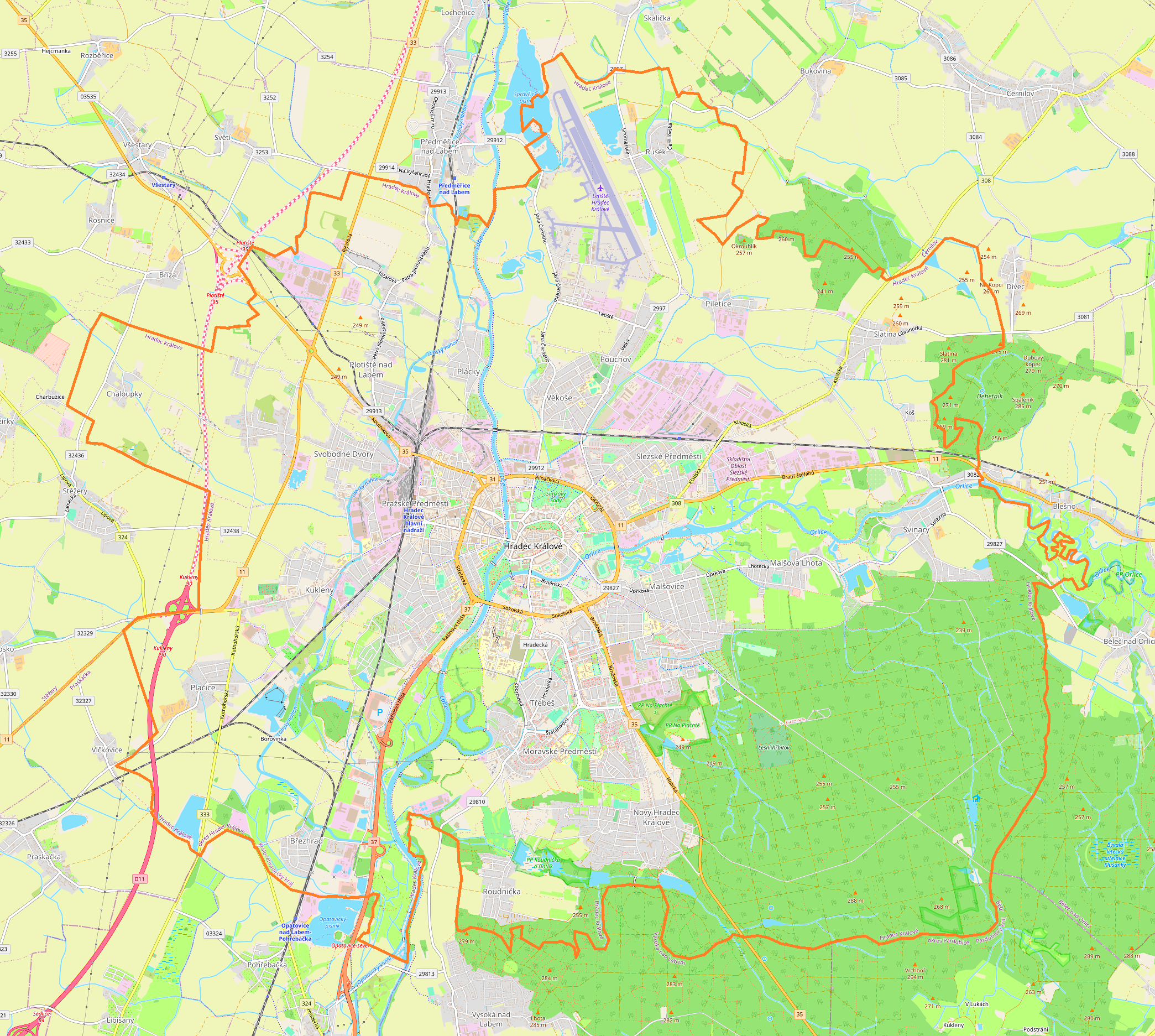
English: Location map |
| Date | |
| Source | Own work |
| Author | Smat |
| Description |
Polski: Mapa Hradec Králové, Czechy
English: Map of Hradec Králové, Czech Republic |
|||||||||
| Date | ||||||||||
| Source | You may find a page on the OpenStreetMap wiki page for Hradec Králové | |||||||||
| Creator |
OpenStreetMap contributors OpenStreetMap contributors |
|||||||||
| Permission (Reusing this file) |
OpenStreetMap data is available under the Open Database License (details). Standard style map tiles are licensed as ODbL Produced Works.
|
|||||||||
| Geotemporal data | ||||||||||
| Bounding box |
|
|||||||||
| Georeferencing | If inappropriate please set warp_status = skip to hide. | |||||||||
Licensing edit
| This work contains information from OpenStreetMap, which is made available under the Open Database License (ODbL).
The ODbL does not require any particular license for maps produced from ODbL data. Prior to 1 August 2020, map tiles produced by the OpenStreetMap Foundation were licensed under the CC-BY-SA-2.0 license. Maps produced by other people may be subject to other licences. |
File history
Click on a date/time to view the file as it appeared at that time.
| Date/Time | Thumbnail | Dimensions | User | Comment | |
|---|---|---|---|---|---|
| current | 10:07, 17 May 2021 | | 2,089 × 1,873 (4.57 MB) | Smat (talk | contribs) | Uploaded own work with UploadWizard |
You cannot overwrite this file.
File usage on Commons
There are no pages that use this file.
File usage on other wikis
The following other wikis use this file:
- Usage on fr.wikipedia.org
- Usage on pl.wikipedia.org
- Bitwa pod Sadową
- Synagoga w Hradcu Králové
- Hradec Králové hlavní nádraží
- Port lotniczy Hradec Králové
- Pražské Předměstí
- Kydlinov
- Správčice
- Kobylí Doly
- Na Olšině (zbiornik)
- Cihelna
- Cesta Myslivců (zbiornik)
- Lhota pod Strání
- Kříž (zbiornik)
- Šosteny
- Červený Dvůr
- Kluky
- Zámostí
- Farářství
- Kopec Sv. Jana
- Klacovské Dvory
- Březhrad
- Bohdanecké Dvory
- Svinárky
- Náhon
- Katedra Świętego Ducha w Hradcu Králové
- Hradec Králové zastávka
- Hradec Králové-Slezské Předměstí
- Hradec Králové-Kukleny
- Kukleny
- Malšova Lhota
- Malšovice (Hradec Králové)
- Moravské Předměstí
- Nový Hradec Králové
- Piletice
- Plácky
- Plotiště nad Labem
- Pouchov
- Roudnička
- Rusek (Hradec Králové)
- Slatina (Hradec Králové)
- Slezské Předměstí
- Svinary
- Svobodné Dvory
- Třebeš
- Věkoše
- Cerkiew św. Mikołaja w Hradcu Králové
- ČPP Aréna
- Dopravní podnik města Hradce Králové
- Uniwersytet w Hradcu Králové
View more global usage of this file.